Area Overview for WS9 8RG
Photos of WS9 8RG
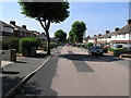
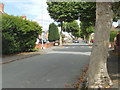
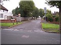
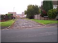
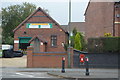
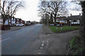
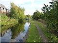
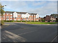
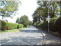
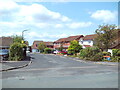
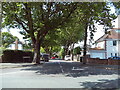
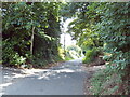
36 photos from this area
Area Information
Key information about the WS9 8RG including its size, population, and administrative classification.
- Area Type
- Postcode
- Area Size
- 1.4 hectares
- Population
- 1638
- Population Density
- 5842 people/km²
House Prices in WS9 8RG
24
Properties
£168,857
Average Sold Price
£20,400
Lowest Price
£295,000
Highest Price
Showing 24 properties
| Address | Type | Beds | Baths | Last Sale Price | Last Sale Date | |
|---|---|---|---|---|---|---|
| 22 Suffolk Grove, Aldridge, WS9 8RG | house | - | - | £295,000 | Jan 2025 | |
| 15 Suffolk Grove, Aldridge, WS9 8RG | Semi-detached | 3 | 1 | £20,400 | Oct 2023 | |
| 17 Suffolk Grove, Aldridge, WS9 8RG | house | - | - | £277,000 | Jun 2020 | |
| 7 Suffolk Grove, Aldridge, WS9 8RG | house | - | - | £219,950 | Mar 2017 | |
| 23 Suffolk Grove, Aldridge, WS9 8RG | house | - | - | £200,000 | Aug 2016 | |
| 9 Suffolk Grove, Aldridge, WS9 8RG | house | - | - | £189,950 | Apr 2016 | |
| 3 Suffolk Grove, Aldridge, WS9 8RG | Bungalow | 3 | - | £182,000 | Mar 2014 | |
| 4 Suffolk Grove, Aldridge, WS9 8RG | Semi-detached | - | - | £208,000 | Jul 2008 | |
| 11 Suffolk Grove, Aldridge, WS9 8RG | Semi-detached | - | - | £185,050 | Jun 2007 | |
| 16 Suffolk Grove, Aldridge, WS9 8RG | Semi-detached | - | - | £186,000 | Jan 2006 |
Page 1 of 3
Energy Efficiency in WS9 8RG
Amenities
Schools
| Rank | School | Type | Entry gender | Ages |
|---|
Explore more schools in this area
Go to Schools tabDemographics
Household Size
One person
most common
Accommodation Type
Houses
most common
Tenure
52
majority
Ethnic Group
White
most common
Religion
N/A
most common
Household Composition
N/A
most common
Age
47
median
Adults (30-64 years)
most common
Household Deprivation
N/A
with no deprivation
NS-SEC
22
in Lower managerial occupations
Explore more demographic insights in this area
Go to Demographics tabPlanning
Planning Constraints
- Flood RiskPremium
- Ramsar Wetland SitesPremium
- Area of Outstanding Natural BeautyPremium
- Protected Nature ReservePremium
- Protected WoodlandPremium