Area Overview for WS9 0EG
Photos of WS9 0EG
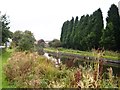
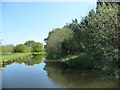
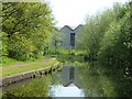
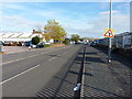
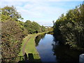
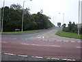
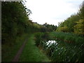
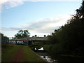
15 photos from this area
Area Information
Key information about the WS9 0EG including its size, population, and administrative classification.
- Area Type
- Postcode
- Area Size
- 5753 m²
- Population
- 1571
- Population Density
- 518 people/km²
House Prices in WS9 0EG
12
Properties
£193,563
Average Sold Price
£112,500
Lowest Price
£340,000
Highest Price
Showing 12 properties
| Address | Type | Beds | Baths | Last Sale Price | Last Sale Date | |
|---|---|---|---|---|---|---|
| 10 West Park Close, Aldridge, WS9 0EG | Detached | 4 | 3 | £230,000 | Mar 2023 | |
| 12 West Park Close, Aldridge, WS9 0EG | Detached | 4 | 1 | £340,000 | Nov 2022 | |
| 6 West Park Close, Aldridge, WS9 0EG | house | - | - | £215,000 | Aug 2016 | |
| 5 West Park Close, Aldridge, WS9 0EG | Detached | 3 | - | £217,500 | Apr 2015 | |
| 16 West Park Close, Aldridge, WS9 0EG | house | 2 | - | £112,500 | May 2011 | |
| 14 West Park Close, Aldridge, WS9 0EG | house | 4 | 2 | £198,050 | Sep 2003 | |
| 1 West Park Close, Aldridge, WS9 0EG | Detached | - | - | £197,950 | Jun 2003 | |
| 3 West Park Close, Aldridge, WS9 0EG | Detached | - | - | £186,950 | Jun 2003 | |
| 4 West Park Close, Aldridge, WS9 0EG | Detached | - | - | £174,950 | May 2003 | |
| 2 West Park Close, Aldridge, WS9 0EG | Detached | - | - | £174,950 | Jan 2003 |
Page 1 of 2
Energy Efficiency in WS9 0EG
Amenities
Schools
| Rank | School | Type | Entry gender | Ages |
|---|
Explore more schools in this area
Go to Schools tabDemographics
Household Size
Family (3-5 people)
most common
Accommodation Type
Houses
most common
Tenure
88
majority
Ethnic Group
White
most common
Religion
N/A
most common
Household Composition
N/A
most common
Age
47
median
Adults (30-64 years)
most common
Household Deprivation
N/A
with no deprivation
NS-SEC
34
in Lower managerial occupations
Explore more demographic insights in this area
Go to Demographics tabPlanning
Planning Constraints
- Flood RiskPremium
- Ramsar Wetland SitesPremium
- Area of Outstanding Natural BeautyPremium
- Protected Nature ReservePremium
- Protected WoodlandPremium