Area Overview for WS15 2TD
Photos of WS15 2TD
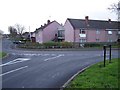
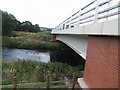
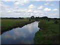
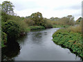
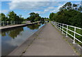
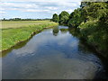
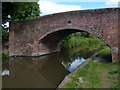
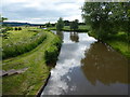
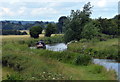
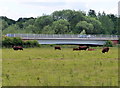
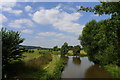
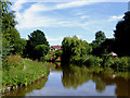
62 photos from this area
Area Information
Key information about the WS15 2TD including its size, population, and administrative classification.
- Area Type
- Postcode
- Area Size
- 1.3 hectares
- Population
- 1489
- Population Density
- 6644 people/km²
House Prices in WS15 2TD
37
Properties
£197,512
Average Sold Price
£116,500
Lowest Price
£350,000
Highest Price
Showing 37 properties
| Address | Type | Beds | Baths | Last Sale Price | Last Sale Date | |
|---|---|---|---|---|---|---|
| 29 Richardson Way, Rugeley, WS15 2TD | Terraced | 3 | 2 | £224,995 | Aug 2024 | |
| 11 Richardson Way, Rugeley, WS15 2TD | house | 3 | 3 | £222,500 | Jun 2024 | |
| 38 Richardson Way, Rugeley, WS15 2TD | Semi-detached | 3 | 2 | £280,000 | Dec 2023 | |
| 4 Richardson Way, Rugeley, WS15 2TD | house | 4 | 3 | £350,000 | Nov 2022 | |
| 20 Richardson Way, Rugeley, WS15 2TD | Retail | 5 | 3 | £340,000 | Mar 2022 | |
| 6 Richardson Way, Rugeley, WS15 2TD | house | - | - | £343,000 | Dec 2021 | |
| 23 Richardson Way, Rugeley, WS15 2TD | Terraced | 4 | 2 | £170,000 | Jun 2021 | |
| 40 Richardson Way, Rugeley, WS15 2TD | Terraced | 4 | 1 | £175,000 | Mar 2021 | |
| 27 Richardson Way, Rugeley, WS15 2TD | Terraced | 4 | 2 | £173,000 | Nov 2019 | |
| 13 Richardson Way, Rugeley, WS15 2TD | Terraced | 3 | 2 | £175,000 | Jul 2019 |
Page 1 of 4
Energy Efficiency in WS15 2TD
Amenities
Schools
| Rank | School | Type | Entry gender | Ages |
|---|
Explore more schools in this area
Go to Schools tabDemographics
Household Size
Two person
most common
Accommodation Type
Houses
most common
Tenure
77
majority
Ethnic Group
White
most common
Religion
N/A
most common
Household Composition
N/A
most common
Age
47
median
Adults (30-64 years)
most common
Household Deprivation
N/A
with no deprivation
NS-SEC
26
in Lower managerial occupations
Explore more demographic insights in this area
Go to Demographics tabPlanning
Planning Constraints
- Flood RiskPremium
- Ramsar Wetland SitesPremium
- Area of Outstanding Natural BeautyPremium
- Protected Nature ReservePremium
- Protected WoodlandPremium