Area Overview for WS15 2QT
Photos of WS15 2QT
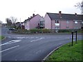
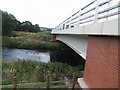
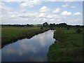
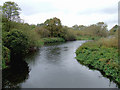
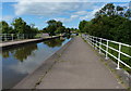
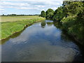
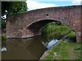
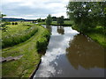
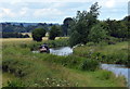
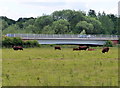
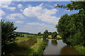
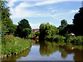
62 photos from this area
Area Information
Key information about the WS15 2QT including its size, population, and administrative classification.
- Area Type
- Postcode
- Area Size
- 1.5 hectares
- Population
- 1489
- Population Density
- 6644 people/km²
House Prices in WS15 2QT
26
Properties
£273,511
Average Sold Price
£98,000
Lowest Price
£410,000
Highest Price
Showing 26 properties
| Address | Type | Beds | Baths | Last Sale Price | Last Sale Date | |
|---|---|---|---|---|---|---|
| 135 Wolseley Road, Rugeley, WS15 2QT | Semi-detached | 4 | 3 | £410,000 | Aug 2025 | |
| 153 Wolseley Road, Rugeley, WS15 2QT | Detached | 5 | 3 | £408,100 | Oct 2023 | |
| 129 Wolseley Road, Rugeley, WS15 2QT | Detached | 3 | 2 | £305,000 | Apr 2020 | |
| 137 Wolseley Road, Rugeley, WS15 2QT | house | 6 | - | £390,000 | Feb 2019 | |
| 131 Wolseley Road, Rugeley, WS15 2QT | house | 3 | - | £200,000 | Aug 2012 | |
| 147 Wolseley Road, Rugeley, WS15 2QT | Detached | - | - | £240,000 | Jul 2011 | |
| 149 Wolseley Road, Rugeley, WS15 2QT | house | 4 | - | £212,000 | May 2011 | |
| 151 Wolseley Road, Rugeley, WS15 2QT | Detached | 4 | - | £198,501 | Feb 2005 | |
| 139 Wolseley Road, Rugeley, WS15 2QT | Detached | - | - | £98,000 | Mar 1998 | |
| Flat 9, 155 Wolseley Road, Rugeley, WS15 2QT | Flat | 2 | 1 | - | - |
Page 1 of 3
Energy Efficiency in WS15 2QT
Amenities
Schools
| Rank | School | Type | Entry gender | Ages |
|---|
Explore more schools in this area
Go to Schools tabDemographics
Household Size
Two person
most common
Accommodation Type
Houses
most common
Tenure
77
majority
Ethnic Group
White
most common
Religion
N/A
most common
Household Composition
N/A
most common
Age
47
median
Adults (30-64 years)
most common
Household Deprivation
N/A
with no deprivation
NS-SEC
26
in Lower managerial occupations
Explore more demographic insights in this area
Go to Demographics tabPlanning
Planning Constraints
- Flood RiskPremium
- Ramsar Wetland SitesPremium
- Area of Outstanding Natural BeautyPremium
- Protected Nature ReservePremium
- Protected WoodlandPremium