Area Overview for WS10 8LN
Photos of WS10 8LN
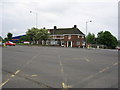
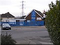
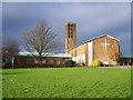
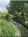
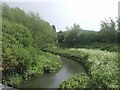
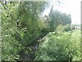
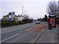
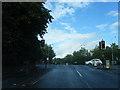
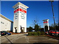
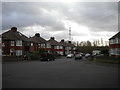
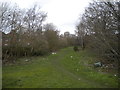
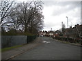
52 photos from this area
Area Information
Key information about the WS10 8LN including its size, population, and administrative classification.
- Area Type
- Postcode
- Area Size
- 11.2 hectares
- Population
- 1873
- Population Density
- 1848 people/km²
House Prices in WS10 8LN
7
Properties
£250,000
Average Sold Price
£250,000
Lowest Price
£250,000
Highest Price
Showing 7 properties
| Address | Type | Beds | Baths | Last Sale Price | Last Sale Date | |
|---|---|---|---|---|---|---|
| 49 Bentley Road South, Darlaston, WS10 8LN | Semi-detached | 5 | 1 | £250,000 | Sep 2019 | |
| Bentley Youth Football Club, Sports Field, Bentley Road South, Darlaston, WS10 8LN | Leisure | - | - | - | - | |
| 51 Bentley Road South, Darlaston, WS10 8LN | Semi-detached | - | - | - | - | |
| 53 Bentley Road South, Darlaston, WS10 8LN | Semi-detached | - | - | - | - | |
| 55 Bentley Road South, Darlaston, WS10 8LN | Semi-detached | - | - | - | - | |
| Networks Traffic Management Ltd, Unit 11, Holland Industrial Park, Bentley Road South, Darlaston, WS10 8LN | Industrial | - | - | - | - | |
| Midland Motascreens Ltd, Unit 19, Holland Industrial Park, Bentley Road South, Darlaston, WS10 8LN | Industrial | - | - | - | - |
Energy Efficiency in WS10 8LN
Amenities
Schools
| Rank | School | Type | Entry gender | Ages |
|---|
Explore more schools in this area
Go to Schools tabDemographics
Household Size
Family (3-5 people)
most common
Accommodation Type
Houses
most common
Tenure
42
majority
Ethnic Group
White
most common
Religion
N/A
most common
Household Composition
N/A
most common
Age
47
median
Adults (30-64 years)
most common
Household Deprivation
N/A
with no deprivation
NS-SEC
17
in Lower managerial occupations
Explore more demographic insights in this area
Go to Demographics tabPlanning
Planning Constraints
- Flood RiskPremium
- Ramsar Wetland SitesPremium
- Area of Outstanding Natural BeautyPremium
- Protected Nature ReservePremium
- Protected WoodlandPremium