Area Overview for WR11 4TQ
Photos of WR11 4TQ
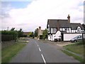
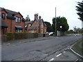
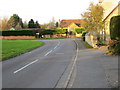
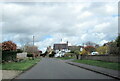
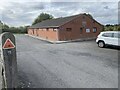
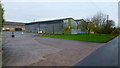

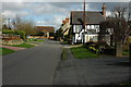

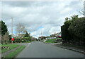
11 photos from this area
Area Information
Key information about the WR11 4TQ including its size, population, and administrative classification.
- Area Type
- Postcode
- Area Size
- 12.4 hectares
- Population
- 1393
- Population Density
- 114 people/km²
House Prices in WR11 4TQ
54
Properties
£186,636
Average Sold Price
£82,000
Lowest Price
£270,000
Highest Price
Showing 54 properties
| Address | Type | Beds | Baths | Last Sale Price | Last Sale Date | |
|---|---|---|---|---|---|---|
| 25 Heathfield Road, Norton, WR11 4TQ | Terraced | 3 | 1 | £245,000 | Apr 2025 | |
| 36 Heathfield Road, Norton, WR11 4TQ | Bungalow | 2 | 1 | £270,000 | Jun 2023 | |
| 52 Heathfield Road, Norton, WR11 4TQ | Terraced | 3 | 1 | £265,000 | Oct 2022 | |
| 56 Heathfield Road, Norton, WR11 4TQ | house | 3 | - | £245,000 | May 2022 | |
| 4 Heathfield Road, Norton, WR11 4TQ | Terraced | 3 | - | £185,000 | Apr 2019 | |
| 10 Heathfield Road, Norton, WR11 4TQ | house | - | - | £175,000 | Feb 2016 | |
| 21 Heathfield Road, Norton, WR11 4TQ | Terraced | 3 | 1 | £165,000 | Oct 2014 | |
| 41 Heathfield Road, Norton, WR11 4TQ | house | - | - | £142,500 | Nov 2013 | |
| 6 Heathfield Road, Norton, WR11 4TQ | house | 3 | - | £127,500 | Dec 2010 | |
| 9 Heathfield Road, Norton, WR11 4TQ | Terraced | - | - | £151,000 | Aug 2007 |
Page 1 of 6
Energy Efficiency in WR11 4TQ
Amenities
Schools
| Rank | School | Type | Entry gender | Ages |
|---|
Explore more schools in this area
Go to Schools tabDemographics
Household Size
Two person
most common
Accommodation Type
Houses
most common
Tenure
64
majority
Ethnic Group
White
most common
Religion
N/A
most common
Household Composition
N/A
most common
Age
47
median
Adults (30-64 years)
most common
Household Deprivation
N/A
with no deprivation
NS-SEC
32
in Lower managerial occupations
Explore more demographic insights in this area
Go to Demographics tabPlanning
Planning Constraints
- Flood RiskPremium
- Ramsar Wetland SitesPremium
- Area of Outstanding Natural BeautyPremium
- Protected Nature ReservePremium
- Protected WoodlandPremium