Area Overview for Werrington
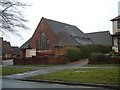
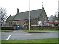
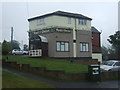
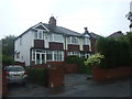
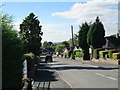
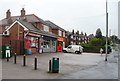
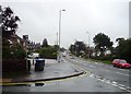
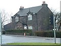
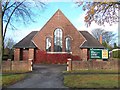
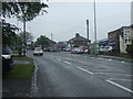
Photos of Werrington


Area Information
Living in Werrington offers a distinctly quiet experience within a civil parish that covers 10.2 km². You will find this to be a compact community with exactly 1,455 residents, resulting in a population density of 142 people per square kilometre. This low density shapes your daily life, ensuring you rarely encounter the congestion found in larger towns or cities. The setting provides ample space while maintaining a functional sense of locality. Residents here enjoy the benefits of a small-scale environment without sacrificing access to essential services typical of the wider region. The area functions as a self-contained neighbourhood where distance between home and local amenities remains manageable. This makes it ideal for those seeking a residence away from urban noise but still connected to the surrounding infrastructure of England. When you consider homes in Werrington, you are choosing a location defined by its manageable scale and peaceful atmosphere. The specific geography limits sprawl, fostering a tight-knit feel among the inhabitants. Your morning commute and evening walks occur within a landscape that prioritises tranquility over high-density development. This balance defines the character of every street and property boundary within the parish limits.
- Area Type
- Parish
- Area Size
- 10.2 km²
- Population
- 1455
- Population Density
- 142 people/km²
Demographics
The community profile of Werrington reveals an older population with a median age of 70 years. You will note that the most common age range spans the total demographic spectrum, indicating a diverse spread despite the high median figure. This age profile suggests the area appeals significantly to retirees or those seeking a slower pace of life. A striking 90% of households in the parish own their homes outright. This extremely high level of home ownership points to long-term settlement patterns rather than a transient rental market. Accommodation types across the parish reflect this stability, though specific breakdowns of single versus multi-unit dwellings are not detailed in the current overview. The household composition throughout Werrington mirrors this older demographic, with fewer young families likely to move compared to urban centres. While specific data on predominant ethnic groups and religious affiliations is not provided, the socio-economic picture remains one of established ownership. This environment often supports community stability, as residents are less likely to move frequently. The high ownership rate also implies that value appreciation may favour established patterns over rapid turnover. For those studying schools near Werrington, the local demographic suggests a focus on education levels suitable for mature families or adult learners.
Household Size
Accommodation Type
Tenure
Ethnic Group
Religion
Household Composition
Age
Household Deprivation
NS-SEC
Explore more demographic insights in this area
Go to Demographics tabPlanning
Planning Constraints
- Flood RiskPremium
- Ramsar Wetland SitesPremium
- Area of Outstanding Natural BeautyPremium
- Protected Nature ReservePremium
- Protected WoodlandPremium