Area Overview for Staffordshire
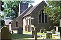
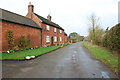
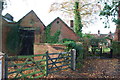
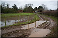
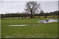
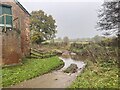
Photos of Staffordshire


Area Information
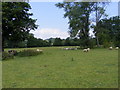
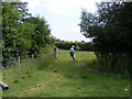
Staffordshire stands as a defined ceremonial county in England, covering a substantial landmass of 2,718.8 square kilometres. This size provides ample room for varied landscapes, from historic towns to expansive rural areas, shaping the daily rhythm of life for residents. When you consider living in Staffordshire, you enter a region where the scale of the countryside changes the pace of travel and community interaction. The sheer area size means distances between towns can be significant, requiring planning for daily commuting or visits to specific amenities. This physical footprint defines the experience of moving to the region, as you must adapt to a larger landscape than might be expected in urban clusters. The county offers a distinct environment where space plays a central role in local life. Prospective buyers seeking homes in Staffordshire should note that the geographical spread influences everything from school catchment sizes to access to leisure activities. Understanding this vastness helps you set realistic expectations regarding travel times and the availability of local services within your chosen neighbourhood.
- Area Type
- Ceremonial Counties Region
- Area Size
- 2718.8 km²
- Population
- Not available
- Population Density
- Not available
Demographics
The community profile of Staffordshire reflects a distinctly mature population. The median age for residents reaches seventy years, indicating a senior-heavy demographic across the county. This age statistic suggests that many homes in Staffordshire are situated in areas catering to retirees or established families moving to quieter surroundings. With sixty-eight per cent of households reporting home ownership, a significant portion of the population has settled locally, likely contributing to the stability of the local housing market. This high ownership rate often correlates with the older median age, as residents tend to own their properties rather than rent them. The household composition data indicates that no single group dominates to the exclusion of others, creating a standard residential mix common to many parts of the United Kingdom. While specific breakdowns by ethnicity or religious affiliation are not detailed in current records, the overall demographic trend points toward a community settled into long-term living arrangements. Quality of life here is closely tied to this stability, with fewer annual moves expected compared to younger, transient cities.