Area Overview for ST9 0EB
Photos of ST9 0EB
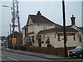
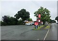
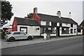
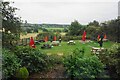
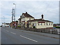
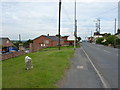
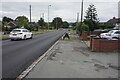

17 photos from this area
Area Information
Key information about the ST9 0EB including its size, population, and administrative classification.
- Area Type
- Postcode
- Area Size
- 3.0 hectares
- Population
- 1592
- Population Density
- 951 people/km²
House Prices in ST9 0EB
65
Properties
£143,230
Average Sold Price
£26,000
Lowest Price
£235,000
Highest Price
Showing 65 properties
| Address | Type | Beds | Baths | Last Sale Price | Last Sale Date | |
|---|---|---|---|---|---|---|
| 29 Park Road, Werrington, ST9 0EB | Semi-detached | 3 | 2 | £210,000 | Apr 2025 | |
| 50 Park Road, Werrington, ST9 0EB | Semi-detached | 2 | 1 | £158,000 | Jan 2025 | |
| 56 Park Road, Werrington, ST9 0EB | Semi-detached | 2 | 1 | £210,000 | Nov 2024 | |
| 16 Park Road, Werrington, ST9 0EB | Semi-detached | 2 | 1 | £170,000 | Nov 2024 | |
| 26 Park Road, Werrington, ST9 0EB | Bungalow | 3 | 1 | £158,500 | Apr 2024 | |
| 34 Park Road, Werrington, ST9 0EB | Semi-detached | 2 | 1 | £165,000 | Jan 2024 | |
| 6 Park Road, Werrington, ST9 0EB | Bungalow | 2 | 1 | £217,000 | Oct 2023 | |
| 14 Park Road, Werrington, ST9 0EB | Semi-detached | 3 | 1 | £170,000 | Jul 2023 | |
| 22 Park Road, Werrington, ST9 0EB | Semi-detached | 3 | 1 | £225,000 | Feb 2023 | |
| Lemain, 8 Park Road, Werrington, ST9 0EB | Bungalow | - | - | £235,000 | Sep 2022 |
Page 1 of 7
Energy Efficiency in ST9 0EB
Amenities
Schools
| Rank | School | Type | Entry gender | Ages |
|---|
Explore more schools in this area
Go to Schools tabDemographics
Household Size
Two person
most common
Accommodation Type
Houses
most common
Tenure
92
majority
Ethnic Group
White
most common
Religion
N/A
most common
Household Composition
N/A
most common
Age
47
median
Adults (30-64 years)
most common
Household Deprivation
N/A
with no deprivation
NS-SEC
34
in Lower managerial occupations
Explore more demographic insights in this area
Go to Demographics tabPlanning
Planning Constraints
- Flood RiskPremium
- Ramsar Wetland SitesPremium
- Area of Outstanding Natural BeautyPremium
- Protected Nature ReservePremium
- Protected WoodlandPremium