Area Overview for ST9 0DT
Photos of ST9 0DT
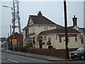
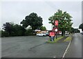
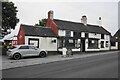
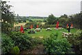
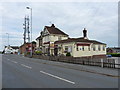
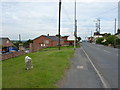
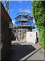
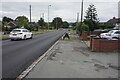

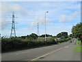
17 photos from this area
Area Information
Key information about the ST9 0DT including its size, population, and administrative classification.
- Area Type
- Postcode
- Area Size
- 27.4 hectares
- Population
- 1592
- Population Density
- 951 people/km²
House Prices in ST9 0DT
63
Properties
£156,093
Average Sold Price
£30,000
Lowest Price
£335,000
Highest Price
Showing 63 properties
| Address | Type | Beds | Baths | Last Sale Price | Last Sale Date | |
|---|---|---|---|---|---|---|
| 437 Ash Bank Road, Werrington, ST9 0DT | Semi-detached | 2 | 1 | £176,000 | Feb 2024 | |
| 479 Ash Bank Road, Werrington, ST9 0DT | Semi-detached | 3 | 1 | £182,000 | Jan 2023 | |
| 503 Ash Bank Road, Werrington, ST9 0DT | house | - | - | £220,000 | Dec 2021 | |
| 435 Ash Bank Road, Werrington, ST9 0DT | Semi-detached | 2 | 1 | £168,000 | Sep 2021 | |
| 486 Ash Bank Road, Werrington, ST9 0DT | Detached | 5 | 4 | £335,000 | Jun 2021 | |
| 481 Ash Bank Road, Werrington, ST9 0DT | Semi-detached | 4 | 1 | £210,000 | Jan 2020 | |
| 507 Ash Bank Road, Werrington, ST9 0DT | Detached | 3 | 2 | £250,000 | Jun 2019 | |
| 483 Ash Bank Road, Werrington, ST9 0DT | Semi-detached | 3 | 1 | £190,000 | Feb 2019 | |
| 431 Ash Bank Road, Werrington, ST9 0DT | Semi-detached | 2 | 1 | £85,000 | Aug 2018 | |
| 455 Ash Bank Road, Werrington, ST9 0DT | Semi-detached | 3 | 1 | £150,000 | Oct 2017 |
Page 1 of 7
Energy Efficiency in ST9 0DT
Amenities
Schools
| Rank | School | Type | Entry gender | Ages |
|---|
Explore more schools in this area
Go to Schools tabDemographics
Household Size
Two person
most common
Accommodation Type
Houses
most common
Tenure
92
majority
Ethnic Group
White
most common
Religion
N/A
most common
Household Composition
N/A
most common
Age
47
median
Adults (30-64 years)
most common
Household Deprivation
N/A
with no deprivation
NS-SEC
34
in Lower managerial occupations
Explore more demographic insights in this area
Go to Demographics tabPlanning
Planning Constraints
- Flood RiskPremium
- Ramsar Wetland SitesPremium
- Area of Outstanding Natural BeautyPremium
- Protected Nature ReservePremium
- Protected WoodlandPremium