Area Overview for ST15 8ZQ
Photos of ST15 8ZQ
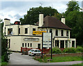
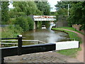
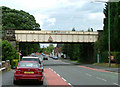
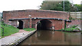
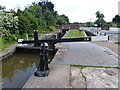
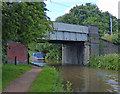
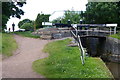
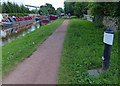
100 photos from this area
Area Information
Key information about the ST15 8ZQ including its size, population, and administrative classification.
- Area Type
- Postcode
- Area Size
- 1.4 hectares
- Population
- 2413
- Population Density
- 2785 people/km²
House Prices in ST15 8ZQ
10
Properties
£265,362
Average Sold Price
£154,950
Lowest Price
£535,000
Highest Price
Showing 10 properties
| Address | Type | Beds | Baths | Last Sale Price | Last Sale Date | |
|---|---|---|---|---|---|---|
| 2 Millennium Way, Stone, ST15 8ZQ | Retail | 5 | 3 | £535,000 | Aug 2022 | |
| 3 Millennium Way, Stone, ST15 8ZQ | Semi-detached | 3 | 2 | £258,000 | Sep 2021 | |
| 9 Millennium Way, Stone, ST15 8ZQ | Detached | 4 | 2 | £267,500 | Dec 2016 | |
| 1 Millennium Way, Stone, ST15 8ZQ | house | - | - | £317,500 | Jun 2009 | |
| 4 Millennium Way, Stone, ST15 8ZQ | Detached | - | - | £225,000 | Jan 2004 | |
| 5 Millennium Way, Stone, ST15 8ZQ | house | - | - | £159,950 | Aug 2003 | |
| 6 Millennium Way, Stone, ST15 8ZQ | Detached | 4 | 2 | £204,995 | Jul 2002 | |
| 8 Millennium Way, Stone, ST15 8ZQ | Detached | - | - | £154,950 | Mar 2001 | |
| Site Huts And Compound, Whitebridge Lane, Stone, ST15 8ZQ | undefined | - | - | - | - | |
| Site Hut, Whitebridge Lane, Stone, ST15 8ZQ | undefined | - | - | - | - |
Energy Efficiency in ST15 8ZQ
Amenities
Schools
| Rank | School | Type | Entry gender | Ages |
|---|
Explore more schools in this area
Go to Schools tabDemographics
Household Size
Two person
most common
Accommodation Type
Houses
most common
Tenure
74
majority
Ethnic Group
White
most common
Religion
N/A
most common
Household Composition
N/A
most common
Age
47
median
Adults (30-64 years)
most common
Household Deprivation
N/A
with no deprivation
NS-SEC
47
in Lower managerial occupations
Explore more demographic insights in this area
Go to Demographics tabPlanning
Planning Constraints
- Flood RiskPremium
- Ramsar Wetland SitesPremium
- Area of Outstanding Natural BeautyPremium
- Protected Nature ReservePremium
- Protected WoodlandPremium