Area Overview for ST15 8LG
Photos of ST15 8LG
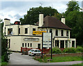
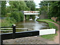
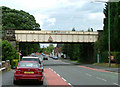
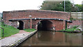
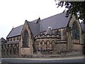
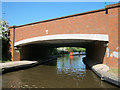
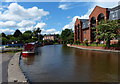
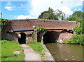
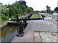
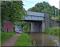
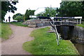
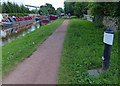
100 photos from this area
Area Information
Key information about the ST15 8LG including its size, population, and administrative classification.
- Area Type
- Postcode
- Area Size
- 1.9 hectares
- Population
- 2413
- Population Density
- 2785 people/km²
House Prices in ST15 8LG
30
Properties
£179,807
Average Sold Price
£20,300
Lowest Price
£320,000
Highest Price
Showing 30 properties
| Address | Type | Beds | Baths | Last Sale Price | Last Sale Date | |
|---|---|---|---|---|---|---|
| 92 Newcastle Road, Stone, ST15 8LG | Terraced | - | - | £140,000 | Apr 2023 | |
| 112 Newcastle Road, Stone, ST15 8LG | Detached | 4 | 3 | £310,000 | Dec 2017 | |
| 106 Newcastle Road, Stone, ST15 8LG | Terraced | 3 | 1 | £194,000 | Nov 2017 | |
| 114 Newcastle Road, Stone, ST15 8LG | Detached | 4 | 1 | £320,000 | Nov 2016 | |
| 94 Newcastle Road, Stone, ST15 8LG | Terraced | 2 | 1 | £140,000 | Aug 2016 | |
| 102 Newcastle Road, Stone, ST15 8LG | Detached | 4 | 1 | £187,500 | Apr 2016 | |
| 154 Newcastle Road, Stone, ST15 8LG | Semi-detached | 4 | - | £294,000 | Dec 2014 | |
| 138 Newcastle Road, Stone, ST15 8LG | Detached | 4 | 2 | £287,500 | May 2014 | |
| 134 Newcastle Road, Stone, ST15 8LG | Detached | - | - | £150,000 | Feb 2003 | |
| 146 Newcastle Road, Stone, ST15 8LG | Semi-detached | - | - | £190,000 | Jan 2002 |
Page 1 of 3
Energy Efficiency in ST15 8LG
Amenities
Schools
| Rank | School | Type | Entry gender | Ages |
|---|
Explore more schools in this area
Go to Schools tabDemographics
Household Size
Two person
most common
Accommodation Type
Houses
most common
Tenure
74
majority
Ethnic Group
White
most common
Religion
N/A
most common
Household Composition
N/A
most common
Age
47
median
Adults (30-64 years)
most common
Household Deprivation
N/A
with no deprivation
NS-SEC
47
in Lower managerial occupations
Explore more demographic insights in this area
Go to Demographics tabPlanning
Planning Constraints
- Flood RiskPremium
- Ramsar Wetland SitesPremium
- Area of Outstanding Natural BeautyPremium
- Protected Nature ReservePremium
- Protected WoodlandPremium