Area Overview for ST11 9HQ
Photos of ST11 9HQ
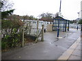
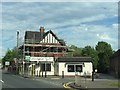
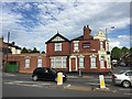
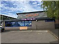
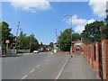
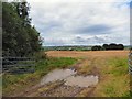
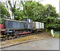
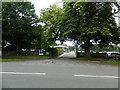
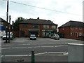
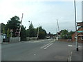

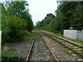
33 photos from this area
Area Information
Key information about the ST11 9HQ including its size, population, and administrative classification.
- Area Type
- Postcode
- Area Size
- 8.3 hectares
- Population
- 1619
- Population Density
- 1738 people/km²
House Prices in ST11 9HQ
39
Properties
£238,044
Average Sold Price
£43,750
Lowest Price
£450,000
Highest Price
Showing 39 properties
| Address | Type | Beds | Baths | Last Sale Price | Last Sale Date | |
|---|---|---|---|---|---|---|
| 183 Uttoxeter Road, Blythe Bridge, ST11 9HQ | house | - | - | £240,000 | Jun 2024 | |
| 175 Uttoxeter Road, Blythe Bridge, ST11 9HQ | house | - | - | £185,000 | May 2024 | |
| 191 Uttoxeter Road, Blythe Bridge, ST11 9HQ | Semi-detached | 3 | 1 | £155,000 | Feb 2024 | |
| Brookdale, Uttoxeter Road, Blythe Bridge, ST11 9HQ | house | - | - | £330,000 | Oct 2023 | |
| 160A Uttoxeter Road, Blythe Bridge, Stoke On Trent, ST11 9HQ | house | - | - | £205,000 | Apr 2022 | |
| 213 Uttoxeter Road, Blythe Bridge, ST11 9HQ | house | - | - | £300,000 | Nov 2021 | |
| 211 Uttoxeter Road, Blythe Bridge, ST11 9HQ | Cottage | 3 | 2 | £218,000 | Aug 2021 | |
| Penmaric, Uttoxeter Road, Blythe Bridge, Stoke On Trent, ST11 9HQ | house | - | - | £450,000 | Apr 2021 | |
| 185 Uttoxeter Road, Blythe Bridge, ST11 9HQ | house | 3 | - | £265,000 | Sep 2020 | |
| 199 Uttoxeter Road, Blythe Bridge, ST11 9HQ | house | - | - | £160,000 | Mar 2020 |
Page 1 of 4
Energy Efficiency in ST11 9HQ
Amenities
Schools
| Rank | School | Type | Entry gender | Ages |
|---|
Explore more schools in this area
Go to Schools tabDemographics
Household Size
Two person
most common
Accommodation Type
Houses
most common
Tenure
89
majority
Ethnic Group
White
most common
Religion
N/A
most common
Household Composition
N/A
most common
Age
47
median
Adults (30-64 years)
most common
Household Deprivation
N/A
with no deprivation
NS-SEC
34
in Lower managerial occupations
Explore more demographic insights in this area
Go to Demographics tabPlanning
Planning Constraints
- Flood RiskPremium
- Ramsar Wetland SitesPremium
- Area of Outstanding Natural BeautyPremium
- Protected Nature ReservePremium
- Protected WoodlandPremium