Area Overview for ST11 9BG
Photos of ST11 9BG
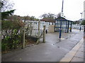
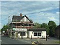
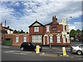
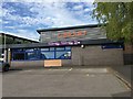
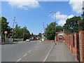
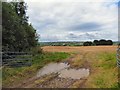
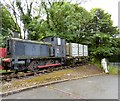
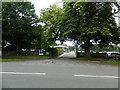
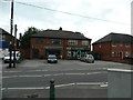
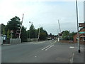
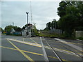
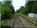
33 photos from this area
Area Information
Key information about the ST11 9BG including its size, population, and administrative classification.
- Area Type
- Postcode
- Area Size
- 53.3 hectares
- Population
- 1619
- Population Density
- 1738 people/km²
House Prices in ST11 9BG
80
Properties
£324,875
Average Sold Price
£110,000
Lowest Price
£1,000,000
Highest Price
Showing 80 properties
| Address | Type | Beds | Baths | Last Sale Price | Last Sale Date | |
|---|---|---|---|---|---|---|
| Fairfields, Caverswall Road, Blythe Bridge, ST11 9BG | Detached | 4 | 3 | £715,000 | Dec 2024 | |
| The Lark, 32 Caverswall Road, Blythe Bridge, ST11 9BG | Detached | 4 | 2 | £530,000 | Sep 2024 | |
| 26 Caverswall Road, Blythe Bridge, ST11 9BG | Detached | 4 | 1 | £415,000 | Mar 2024 | |
| 68 Caverswall Road, Blythe Bridge, ST11 9BG | Terraced | 2 | 1 | £160,000 | Nov 2023 | |
| Longslow House, 88 Caverswall Road, Blythe Bridge, ST11 9BG | Detached | 5 | 1 | £1,000,000 | Mar 2022 | |
| Mayfield, 57 Caverswall Road, Blythe Bridge, ST11 9BG | house | - | - | £712,500 | Mar 2022 | |
| 2 Caverswall Road, Blythe Bridge, ST11 9BG | Semi-detached | 4 | 3 | £195,000 | Feb 2022 | |
| Windy Arbour, 81 Caverswall Road, Blythe Bridge, ST11 9BG | Semi-detached | 1 | 1 | £415,000 | Jan 2022 | |
| 58 Caverswall Road, Blythe Bridge, ST11 9BG | Detached | 5 | 3 | £640,000 | Dec 2021 | |
| Trevi House, 52 Caverswall Road, Blythe Bridge, ST11 9BG | Semi-detached | 6 | 3 | £445,000 | Sep 2021 |
Page 1 of 8
Energy Efficiency in ST11 9BG
Amenities
Schools
| Rank | School | Type | Entry gender | Ages |
|---|
Explore more schools in this area
Go to Schools tabDemographics
Household Size
Two person
most common
Accommodation Type
Houses
most common
Tenure
89
majority
Ethnic Group
White
most common
Religion
N/A
most common
Household Composition
N/A
most common
Age
47
median
Adults (30-64 years)
most common
Household Deprivation
N/A
with no deprivation
NS-SEC
34
in Lower managerial occupations
Explore more demographic insights in this area
Go to Demographics tabPlanning
Planning Constraints
- Flood RiskPremium
- Ramsar Wetland SitesPremium
- Area of Outstanding Natural BeautyPremium
- Protected Nature ReservePremium
- Protected WoodlandPremium