Area Overview for HR9 6QB
Photos of HR9 6QB
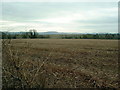
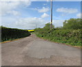
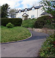
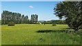
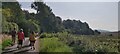
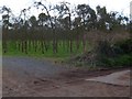
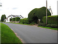
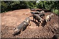
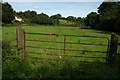
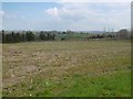
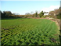
11 photos from this area
Area Information
Key information about the HR9 6QB including its size, population, and administrative classification.
- Area Type
- Postcode
- Area Size
- 40.6 hectares
- Population
- 1553
- Population Density
- 70 people/km²
House Prices in HR9 6QB
5
Properties
£500,625
Average Sold Price
£350,000
Lowest Price
£780,000
Highest Price
Showing 5 properties
| Address | Type | Beds | Baths | Last Sale Price | Last Sale Date | |
|---|---|---|---|---|---|---|
| Ashe Leigh, Ashe Ingen Court Road, Bridstow, HR9 6QB | Detached | 6 | 3 | £780,000 | Sep 2021 | |
| Reiver House, Ashe Ingen Court Road, Bridstow, HR9 6QB | Detached | - | - | £452,500 | Dec 2016 | |
| The Old Coach House, Ash Leigh, Bridstow, HR9 6QB | house | 5 | - | £420,000 | Mar 2015 | |
| Ashe Cottage, Ashe Ingen Court Road, Bridstow, HR9 6QB | Equestrian | 3 | 3 | £350,000 | Nov 2012 | |
| Ashe Ridge, Ashe Ingen Court Road, Bridstow, HR9 6QB | Detached | - | - | - | - |
Energy Efficiency in HR9 6QB
Amenities
Schools
| Rank | School | Type | Entry gender | Ages |
|---|
Explore more schools in this area
Go to Schools tabDemographics
Household Size
Two person
most common
Accommodation Type
Houses
most common
Tenure
78
majority
Ethnic Group
White
most common
Religion
N/A
most common
Household Composition
N/A
most common
Age
47
median
Adults (30-64 years)
most common
Household Deprivation
N/A
with no deprivation
NS-SEC
39
in Lower managerial occupations
Explore more demographic insights in this area
Go to Demographics tabPlanning
Planning Constraints
- Flood RiskPremium
- Ramsar Wetland SitesPremium
- Protected Nature ReservePremium
- Protected WoodlandPremium