Area Overview for HR9 6PZ
Photos of HR9 6PZ
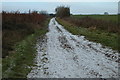
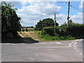
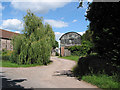
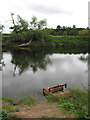
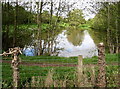
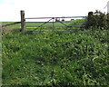
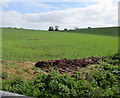
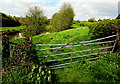
40 photos from this area
Area Information
Key information about the HR9 6PZ including its size, population, and administrative classification.
- Area Type
- Postcode
- Area Size
- 69.5 hectares
- Population
- 1553
- Population Density
- 70 people/km²
House Prices in HR9 6PZ
27
Properties
£686,667
Average Sold Price
£190,000
Lowest Price
£2,100,000
Highest Price
Showing 27 properties
| Address | Type | Beds | Baths | Last Sale Price | Last Sale Date | |
|---|---|---|---|---|---|---|
| Hill Cottage, C 1271 Baysham To Bridstow, Bridstow, HR9 6PZ | Detached | 3 | 2 | £540,000 | Jan 2025 | |
| Glebe Barn, C 1271 Baysham To Bridstow, Bridstow, HR9 6PZ | Semi-detached | 3 | 2 | £560,000 | Dec 2020 | |
| The Old Vicarage, C 1271 Baysham To Bridstow, Bridstow, HR9 6PZ | Semi-detached | 6 | 6 | £2,100,000 | Oct 2020 | |
| Hill House, C 1271 Baysham To Bridstow, Bridstow, HR9 6PZ | house | 5 | - | £530,000 | Feb 2012 | |
| Ashe Rise, C 1271 Baysham To Bridstow, Bridstow, HR9 6PZ | Bungalow | - | - | £200,000 | Sep 2011 | |
| Ashe End Cottage, C 1271 Baysham To Bridstow, Bridstow, HR9 6PZ | Detached | - | - | £190,000 | Mar 2001 | |
| The Archway Wye Lea, C 1271 Baysham To Bridstow, Bridstow, HR9 6PZ | Retirement | 3 | 1 | - | - | |
| Blueberry Cottage Wye Lea, C 1271 Baysham To Bridstow, Bridstow, HR9 6PZ | Terraced | 2 | 2 | - | - | |
| Brock Cottage Wye Lea, C 1271 Baysham To Bridstow, Bridstow, HR9 6PZ | Terraced | 2 | 2 | - | - | |
| Summerhaze Cottage Wye Lea, C 1271 Baysham To Bridstow, Bridstow, HR9 6PZ | Terraced | 2 | 2 | - | - |
Page 1 of 3
Energy Efficiency in HR9 6PZ
Amenities
Schools
| Rank | School | Type | Entry gender | Ages |
|---|
Explore more schools in this area
Go to Schools tabDemographics
Household Size
Two person
most common
Accommodation Type
Houses
most common
Tenure
78
majority
Ethnic Group
White
most common
Religion
N/A
most common
Household Composition
N/A
most common
Age
47
median
Adults (30-64 years)
most common
Household Deprivation
N/A
with no deprivation
NS-SEC
39
in Lower managerial occupations
Explore more demographic insights in this area
Go to Demographics tabPlanning
Planning Constraints
- Flood RiskPremium
- Ramsar Wetland SitesPremium
- Protected Nature ReservePremium
- Protected WoodlandPremium