Area Overview for DY5 2AP
Photos of DY5 2AP
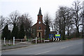
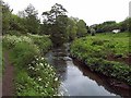
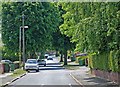

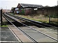
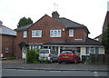
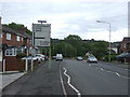
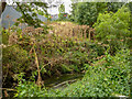
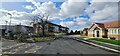
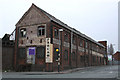
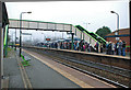
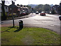
41 photos from this area
Area Information
Key information about the DY5 2AP including its size, population, and administrative classification.
- Area Type
- Postcode
- Area Size
- 5905 m²
- Population
- 1665
- Population Density
- 5331 people/km²
House Prices in DY5 2AP
29
Properties
£106,200
Average Sold Price
£44,000
Lowest Price
£174,000
Highest Price
Showing 29 properties
| Address | Type | Beds | Baths | Last Sale Price | Last Sale Date | |
|---|---|---|---|---|---|---|
| 28 Brick Kiln Street, Quarry Bank, DY5 2AP | Terraced | 2 | 1 | £154,500 | Jul 2024 | |
| 41 Brick Kiln Street, Quarry Bank, DY5 2AP | Terraced | 3 | 1 | £174,000 | Jun 2024 | |
| 31 Brick Kiln Street, Quarry Bank, DY5 2AP | Terraced | 2 | - | £65,000 | Apr 2024 | |
| 36 Brick Kiln Street, Quarry Bank, DY5 2AP | Terraced | 2 | 1 | £120,000 | Dec 2021 | |
| 40 Brick Kiln Street, Quarry Bank, DY5 2AP | Terraced | 2 | 1 | £110,000 | Mar 2021 | |
| 42 Brick Kiln Street, Quarry Bank, DY5 2AP | Terraced | 3 | 1 | £88,000 | Jun 2018 | |
| 10 Brick Kiln Street, Quarry Bank, DY5 2AP | house | - | - | £99,000 | May 2016 | |
| 5 Brick Kiln Street, Quarry Bank, DY5 2AP | house | - | - | £135,000 | Feb 2016 | |
| 38 Brick Kiln Street, Quarry Bank, DY5 2AP | Detached | 3 | 1 | £155,000 | Feb 2014 | |
| 33 Brick Kiln Street, Quarry Bank, DY5 2AP | Terraced | 2 | 2 | £75,000 | Dec 2008 |
Page 1 of 3
Energy Efficiency in DY5 2AP
Amenities
Schools
| Rank | School | Type | Entry gender | Ages |
|---|
Explore more schools in this area
Go to Schools tabDemographics
Household Size
One person
most common
Accommodation Type
Houses
most common
Tenure
62
majority
Ethnic Group
White
most common
Religion
N/A
most common
Household Composition
N/A
most common
Age
47
median
Adults (30-64 years)
most common
Household Deprivation
N/A
with no deprivation
NS-SEC
25
in Lower managerial occupations
Explore more demographic insights in this area
Go to Demographics tabPlanning
Planning Constraints
- Flood RiskPremium
- Ramsar Wetland SitesPremium
- Area of Outstanding Natural BeautyPremium
- Protected Nature ReservePremium
- Protected WoodlandPremium