Area Overview for DY5 2AR
Photos of DY5 2AR
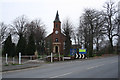
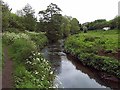
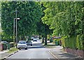
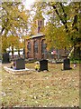
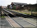
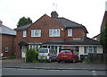
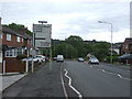
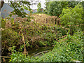
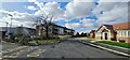
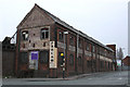
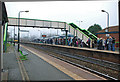
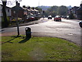
41 photos from this area
Area Information
Key information about the DY5 2AR including its size, population, and administrative classification.
- Area Type
- Postcode
- Area Size
- 1.5 hectares
- Population
- 1531
- Population Density
- 4055 people/km²
House Prices in DY5 2AR
40
Properties
£122,442
Average Sold Price
£48,000
Lowest Price
£255,000
Highest Price
Showing 40 properties
| Address | Type | Beds | Baths | Last Sale Price | Last Sale Date | |
|---|---|---|---|---|---|---|
| 25 Evers Street, Quarry Bank, DY5 2AR | Terraced | 3 | 1 | £132,500 | Nov 2025 | |
| 7A Evers Street, Quarry Bank, DY5 2AR | Detached | 2 | 1 | £192,000 | Apr 2024 | |
| 28A Evers Street, Quarry Bank, DY5 2AR | Terraced | 3 | 1 | £220,000 | Jan 2024 | |
| 22A Evers Street, Quarry Bank, DY5 2AR | house | - | - | £255,000 | Feb 2022 | |
| 44 Evers Street, Quarry Bank, DY5 2AR | Detached | 2 | 1 | £187,000 | Feb 2021 | |
| 28 Evers Street, Quarry Bank, DY5 2AR | Terraced | 2 | 1 | £120,000 | Feb 2021 | |
| 1 Evers Street, Quarry Bank, DY5 2AR | Bungalow | - | - | £57,500 | Dec 2019 | |
| 42 Evers Street, Quarry Bank, DY5 2AR | Detached | 3 | - | £133,000 | Sep 2014 | |
| 38 Evers Street, Quarry Bank, DY5 2AR | Bungalow | 2 | 1 | £169,000 | Jul 2011 | |
| 26 Evers Street, Quarry Bank, DY5 2AR | Semi-detached | - | - | £94,500 | May 2007 |
Page 1 of 4
Energy Efficiency in DY5 2AR
Amenities
Schools
| Rank | School | Type | Entry gender | Ages |
|---|
Explore more schools in this area
Go to Schools tabDemographics
Household Size
Two person
most common
Accommodation Type
Houses
most common
Tenure
79
majority
Ethnic Group
White
most common
Religion
N/A
most common
Household Composition
N/A
most common
Age
47
median
Adults (30-64 years)
most common
Household Deprivation
N/A
with no deprivation
NS-SEC
27
in Lower managerial occupations
Explore more demographic insights in this area
Go to Demographics tabPlanning
Planning Constraints
- Flood RiskPremium
- Ramsar Wetland SitesPremium
- Area of Outstanding Natural BeautyPremium
- Protected Nature ReservePremium
- Protected WoodlandPremium