Area Overview for CV8 3HU
Photos of CV8 3HU
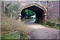
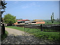
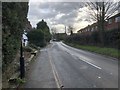
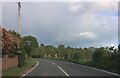
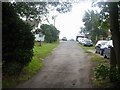
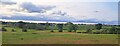
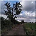
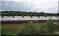
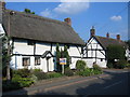
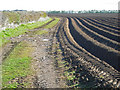
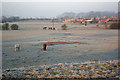
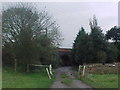
24 photos from this area
Area Information
Key information about the CV8 3HU including its size, population, and administrative classification.
- Area Type
- Postcode
- Area Size
- 6.0 hectares
- Population
- 1724
- Population Density
- 170 people/km²
House Prices in CV8 3HU
24
Properties
£326,769
Average Sold Price
£52,000
Lowest Price
£750,000
Highest Price
Showing 24 properties
| Address | Type | Beds | Baths | Last Sale Price | Last Sale Date | |
|---|---|---|---|---|---|---|
| Brandon Lodge, Rugby Road, Brandon, CV8 3HU | Detached | 4 | 3 | £750,000 | Aug 2022 | |
| The Pines, Rugby Road, Brandon, CV8 3HU | Retail | 4 | 2 | £535,000 | May 2022 | |
| Ivy Cottage, Rugby Road, Brandon, CV8 3HU | house | 3 | - | £362,500 | Feb 2022 | |
| Windy Ridge, Rugby Road, Brandon, CV8 3HU | house | - | - | £250,000 | Mar 2020 | |
| Bankside, Rugby Road, Brandon, CV8 3HU | house | - | - | £395,000 | Dec 2018 | |
| Avon Lodge, Rugby Road, Brandon, CV8 3HU | house | - | - | £625,000 | Jan 2018 | |
| Avon Lea, Rugby Road, Brandon, CV8 3HU | house | - | - | £145,000 | Sep 2012 | |
| Goodrest Cottage, Rugby Road, Brandon, CV8 3HU | house | - | - | £205,000 | Mar 2007 | |
| Far Orchard Cottage, Rugby Road, Brandon, CV8 3HU | Terraced | - | - | £280,000 | Dec 2005 | |
| The Hollies, Rugby Road, Brandon, CV8 3HU | Detached | 10 | - | £495,000 | Oct 2003 |
Page 1 of 3
Energy Efficiency in CV8 3HU
Amenities
Schools
| Rank | School | Type | Entry gender | Ages |
|---|
Explore more schools in this area
Go to Schools tabDemographics
Household Size
Two person
most common
Accommodation Type
Houses
most common
Tenure
83
majority
Ethnic Group
White
most common
Religion
N/A
most common
Household Composition
N/A
most common
Age
47
median
Adults (30-64 years)
most common
Household Deprivation
N/A
with no deprivation
NS-SEC
41
in Lower managerial occupations
Explore more demographic insights in this area
Go to Demographics tabPlanning
Planning Constraints
- Flood RiskPremium
- Ramsar Wetland SitesPremium
- Area of Outstanding Natural BeautyPremium
- Protected Nature ReservePremium
- Protected WoodlandPremium