Area Overview for CV8 3GH
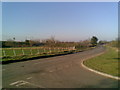
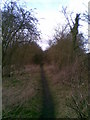
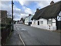
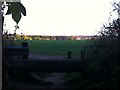
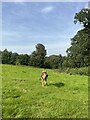
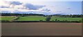
Photos of CV8 3GH

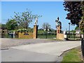
![Brandon Hall Hotel and Spa [1] in CV8 3GH](https://images.propbar.co.uk/images/geograph/61/69/6169197_120.jpg)
![Brandon buildings [1] in CV8 3GH](https://images.propbar.co.uk/images/geograph/62/71/6271167_120.jpg)
![Brandon buildings [2] in CV8 3GH](https://images.propbar.co.uk/images/geograph/62/71/6271177_120.jpg)
48 photos from this area
Area Information
Key information about the CV8 3GH including its size, population, and administrative classification.
- Area Type
- Postcode
- Area Size
- 3427 m²
- Population
- 1724
- Population Density
- 170 people/km²
House Prices in CV8 3GH
6
Properties
£424,175
Average Sold Price
£365,850
Lowest Price
£482,500
Highest Price
Showing 6 properties
| Address | Type | Beds | Baths | Last Sale Price | Last Sale Date | |
|---|---|---|---|---|---|---|
| Forge Cottage, Rugby Road, Brandon, CV8 3GH | Cottage | 3 | 2 | £482,500 | Jan 2022 | |
| Woodcroft, Rugby Road, Brandon, CV8 3GH | house | 6 | 3 | £365,850 | Oct 2019 | |
| Woodcroft Garage, Rugby Road, Brandon, CV8 3GH | Industrial | - | - | - | - | |
| Brandon Motors, Former Brandon Motors, Rugby Road, Brandon, CV8 3GH | Industrial | - | - | - | - | |
| Swimming Pool Supplies Ltd, The Old Ferrari Garage, Rugby Road, Brandon, CV8 3GH | storage_distribution | - | - | - | - | |
| Portacabin, Former Brandon Motors, Rugby Road, Brandon, CV8 3GH | Retail | - | - | - | - |
Energy Efficiency in CV8 3GH
Amenities
Schools
| Rank | School | Type | Entry gender | Ages |
|---|
Explore more schools in this area
Go to Schools tabDemographics
Household Size
Two person
most common
Accommodation Type
Houses
most common
Tenure
83
majority
Ethnic Group
White
most common
Religion
N/A
most common
Household Composition
N/A
most common
Age
47
median
Adults (30-64 years)
most common
Household Deprivation
N/A
with no deprivation
NS-SEC
41
in Lower managerial occupations
Explore more demographic insights in this area
Go to Demographics tabPlanning
Planning Constraints
- Flood RiskPremium
- Ramsar Wetland SitesPremium
- Area of Outstanding Natural BeautyPremium
- Protected Nature ReservePremium
- Protected WoodlandPremium