Area Overview for CV6 2JJ
Photos of CV6 2JJ
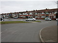
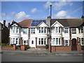
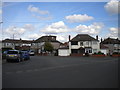
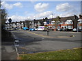
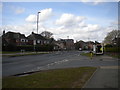
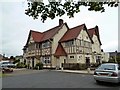
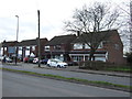
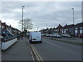
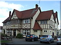
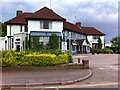
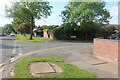
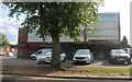
18 photos from this area
Area Information
Key information about the CV6 2JJ including its size, population, and administrative classification.
- Area Type
- Postcode
- Area Size
- 1.4 hectares
- Population
- 1620
- Population Density
- 6950 people/km²
House Prices in CV6 2JJ
31
Properties
£150,945
Average Sold Price
£44,000
Lowest Price
£285,000
Highest Price
Showing 31 properties
| Address | Type | Beds | Baths | Last Sale Price | Last Sale Date | |
|---|---|---|---|---|---|---|
| 190 Keresley Road, Coventry, CV6 2JJ | house | - | - | £150,000 | Jun 2025 | |
| 186 Keresley Road, Coventry, CV6 2JJ | Terraced | 3 | 1 | £276,000 | Feb 2022 | |
| 180 Keresley Road, Coventry, CV6 2JJ | Terraced | 3 | - | £220,000 | Oct 2020 | |
| 144 Keresley Road, Coventry, CV6 2JJ | Terraced | 3 | 1 | £236,000 | May 2020 | |
| 148 Keresley Road, Coventry, CV6 2JJ | house | - | - | £155,000 | Oct 2019 | |
| 198 Keresley Road, Coventry, CV6 2JJ | Flat | - | - | £285,000 | Oct 2019 | |
| 172 Keresley Road, Coventry, CV6 2JJ | Terraced | 3 | 2 | £191,000 | Sep 2018 | |
| 164 Keresley Road, Coventry, CV6 2JJ | Terraced | 3 | 1 | £200,000 | Dec 2016 | |
| 156 Keresley Road, Coventry, CV6 2JJ | Terraced | 4 | 2 | £158,000 | Dec 2015 | |
| 142 Keresley Road, Coventry, CV6 2JJ | house | - | - | £150,000 | Feb 2013 |
Page 1 of 4
Energy Efficiency in CV6 2JJ
Amenities
Schools
| Rank | School | Type | Entry gender | Ages |
|---|
Explore more schools in this area
Go to Schools tabDemographics
Household Size
Family (3-5 people)
most common
Accommodation Type
Houses
most common
Tenure
70
majority
Ethnic Group
White
most common
Religion
N/A
most common
Household Composition
N/A
most common
Age
47
median
Adults (30-64 years)
most common
Household Deprivation
N/A
with no deprivation
NS-SEC
28
in Lower managerial occupations
Explore more demographic insights in this area
Go to Demographics tabPlanning
Planning Constraints
- Flood RiskPremium
- Ramsar Wetland SitesPremium
- Area of Outstanding Natural BeautyPremium
- Protected Nature ReservePremium
- Protected WoodlandPremium