Area Overview for CV6 2FG
Photos of CV6 2FG
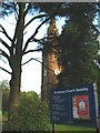
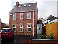
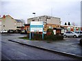
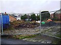
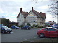
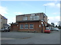
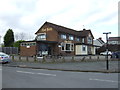
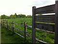
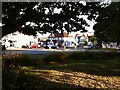
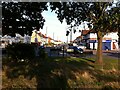
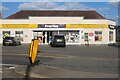
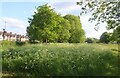
51 photos from this area
Area Information
Key information about the CV6 2FG including its size, population, and administrative classification.
- Area Type
- Postcode
- Area Size
- 1.1 hectares
- Population
- 1620
- Population Density
- 6950 people/km²
House Prices in CV6 2FG
24
Properties
£151,686
Average Sold Price
£37,000
Lowest Price
£247,000
Highest Price
Showing 24 properties
| Address | Type | Beds | Baths | Last Sale Price | Last Sale Date | |
|---|---|---|---|---|---|---|
| 6 Keresley Green Road, Coventry, CV6 2FG | Retail | 3 | 1 | £37,000 | Mar 2025 | |
| 28 Keresley Green Road, Coventry, CV6 2FG | Terraced | 4 | 1 | £225,000 | Jun 2021 | |
| 36 Keresley Green Road, Coventry, CV6 2FG | house | - | - | £185,000 | Jun 2020 | |
| 12 Keresley Green Road, Coventry, CV6 2FG | Terraced | 3 | 1 | £243,000 | Oct 2019 | |
| 24 Keresley Green Road, Coventry, CV6 2FG | Terraced | 3 | 1 | £210,000 | Jun 2019 | |
| 26 Keresley Green Road, Coventry, CV6 2FG | Terraced | 3 | 1 | £197,500 | Dec 2018 | |
| 42 Keresley Green Road, Coventry, CV6 2FG | Semi-detached | 3 | 1 | £212,000 | Jun 2017 | |
| 40 Keresley Green Road, Coventry, CV6 2FG | Terraced | 4 | - | £247,000 | Dec 2016 | |
| 18 Keresley Green Road, Coventry, CV6 2FG | Terraced | 3 | 1 | £150,000 | Mar 2016 | |
| 30 Keresley Green Road, Coventry, CV6 2FG | house | - | - | £137,600 | Aug 2015 |
Page 1 of 3
Energy Efficiency in CV6 2FG
Amenities
Schools
| Rank | School | Type | Entry gender | Ages |
|---|
Explore more schools in this area
Go to Schools tabDemographics
Household Size
Family (3-5 people)
most common
Accommodation Type
Houses
most common
Tenure
70
majority
Ethnic Group
White
most common
Religion
N/A
most common
Household Composition
N/A
most common
Age
47
median
Adults (30-64 years)
most common
Household Deprivation
N/A
with no deprivation
NS-SEC
28
in Lower managerial occupations
Explore more demographic insights in this area
Go to Demographics tabPlanning
Planning Constraints
- Flood RiskPremium
- Ramsar Wetland SitesPremium
- Area of Outstanding Natural BeautyPremium
- Protected Nature ReservePremium
- Protected WoodlandPremium