Area Overview for CV4 9UG
Photos of CV4 9UG
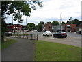
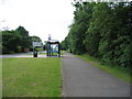
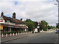
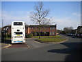
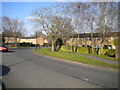
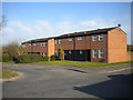
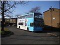
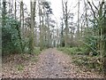
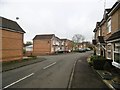
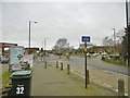

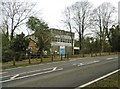
28 photos from this area
Area Information
Key information about the CV4 9UG including its size, population, and administrative classification.
- Area Type
- Postcode
- Area Size
- 8599 m²
- Population
- 1808
- Population Density
- 3537 people/km²
House Prices in CV4 9UG
26
Properties
£104,239
Average Sold Price
£32,500
Lowest Price
£175,000
Highest Price
Showing 26 properties
| Address | Type | Beds | Baths | Last Sale Price | Last Sale Date | |
|---|---|---|---|---|---|---|
| 68 Goodman Way, Coventry, CV4 9UG | Terraced | 2 | 1 | £175,000 | Jan 2023 | |
| 38 Goodman Way, Coventry, CV4 9UG | house | - | - | £128,000 | Dec 2020 | |
| 55 Goodman Way, Coventry, CV4 9UG | house | - | - | £84,000 | Oct 2019 | |
| 48 Goodman Way, Coventry, CV4 9UG | Terraced | 2 | 1 | £115,000 | Aug 2018 | |
| 72 Goodman Way, Coventry, CV4 9UG | Terraced | 2 | 1 | £137,000 | Mar 2018 | |
| 36 Goodman Way, Coventry, CV4 9UG | Terraced | 3 | 1 | £61,650 | Jan 2015 | |
| 56 Goodman Way, Coventry, CV4 9UG | Terraced | 3 | - | £135,000 | May 2014 | |
| 44 Goodman Way, Coventry, CV4 9UG | house | - | - | £70,000 | Dec 2012 | |
| 54 Goodman Way, Coventry, CV4 9UG | Terraced | - | - | £32,500 | May 1999 | |
| 47 Goodman Way, Coventry, CV4 9UG | house | - | - | - | - |
Page 1 of 3
Energy Efficiency in CV4 9UG
Amenities
Schools
| Rank | School | Type | Entry gender | Ages |
|---|
Explore more schools in this area
Go to Schools tabDemographics
Household Size
Family (3-5 people)
most common
Accommodation Type
Houses
most common
Tenure
45
majority
Ethnic Group
White
most common
Religion
N/A
most common
Household Composition
N/A
most common
Age
47
median
Adults (30-64 years)
most common
Household Deprivation
N/A
with no deprivation
NS-SEC
31
in Lower managerial occupations
Explore more demographic insights in this area
Go to Demographics tabPlanning
Planning Constraints
- Flood RiskPremium
- Ramsar Wetland SitesPremium
- Area of Outstanding Natural BeautyPremium
- Protected Nature ReservePremium
- Protected WoodlandPremium