Area Overview for CV2 5GZ
Photos of CV2 5GZ
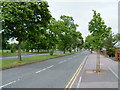
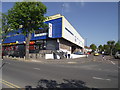
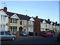
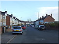
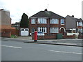
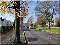
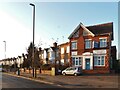
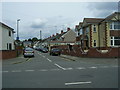


18 photos from this area
Area Information
Key information about the CV2 5GZ including its size, population, and administrative classification.
- Area Type
- Postcode
- Area Size
- 9910 m²
- Population
- 1450
- Population Density
- 3865 people/km²
House Prices in CV2 5GZ
32
Properties
£133,705
Average Sold Price
£37,500
Lowest Price
£307,500
Highest Price
Showing 32 properties
| Address | Type | Beds | Baths | Last Sale Price | Last Sale Date | |
|---|---|---|---|---|---|---|
| 39 Newey Road, Coventry, CV2 5GZ | house | 4 | 2 | £307,500 | Aug 2023 | |
| 33 Newey Road, Coventry, CV2 5GZ | Terraced | 3 | 1 | £195,000 | Mar 2023 | |
| 35 Newey Road, Coventry, CV2 5GZ | Terraced | 3 | 1 | £180,000 | Nov 2020 | |
| 9 Newey Road, Coventry, CV2 5GZ | Terraced | 3 | 1 | £160,000 | Nov 2018 | |
| 23 Newey Road, Coventry, CV2 5GZ | Terraced | 3 | 1 | £185,000 | Jun 2018 | |
| 21 Newey Road, Coventry, CV2 5GZ | house | - | - | £160,000 | Aug 2017 | |
| 15 Newey Road, Coventry, CV2 5GZ | Terraced | 3 | - | £150,000 | Dec 2015 | |
| 3 Newey Road, Coventry, CV2 5GZ | Terraced | 3 | 1 | £149,950 | Apr 2015 | |
| 41 Newey Road, Coventry, CV2 5GZ | Terraced | 3 | 1 | £119,950 | Mar 2014 | |
| 37 Newey Road, Coventry, CV2 5GZ | house | - | - | £125,000 | Jan 2014 |
Page 1 of 4
Energy Efficiency in CV2 5GZ
Amenities
Schools
| Rank | School | Type | Entry gender | Ages |
|---|
Explore more schools in this area
Go to Schools tabDemographics
Household Size
Family (3-5 people)
most common
Accommodation Type
Houses
most common
Tenure
71
majority
Ethnic Group
White
most common
Religion
N/A
most common
Household Composition
N/A
most common
Age
47
median
Adults (30-64 years)
most common
Household Deprivation
N/A
with no deprivation
NS-SEC
28
in Lower managerial occupations
Explore more demographic insights in this area
Go to Demographics tabPlanning
Planning Constraints
- Flood RiskPremium
- Ramsar Wetland SitesPremium
- Area of Outstanding Natural BeautyPremium
- Protected Nature ReservePremium
- Protected WoodlandPremium