Area Overview for CV2 3FH
Photos of CV2 3FH
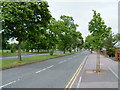
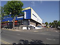
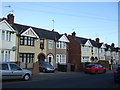
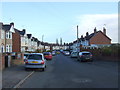
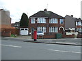
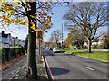
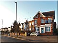
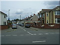
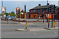
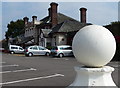

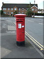
18 photos from this area
Area Information
Key information about the CV2 3FH including its size, population, and administrative classification.
- Area Type
- Postcode
- Area Size
- 1.6 hectares
- Population
- 1629
- Population Density
- 6785 people/km²
House Prices in CV2 3FH
38
Properties
£151,732
Average Sold Price
£25,000
Lowest Price
£285,000
Highest Price
Showing 38 properties
| Address | Type | Beds | Baths | Last Sale Price | Last Sale Date | |
|---|---|---|---|---|---|---|
| 143 Ansty Road, Coventry, CV2 3FH | house | - | - | £222,000 | Aug 2024 | |
| 137 Ansty Road, Coventry, CV2 3FH | Terraced | 3 | 1 | £172,500 | Jul 2024 | |
| 93 Ansty Road, Coventry, CV2 3FH | Semi-detached | 3 | 1 | £285,000 | Jul 2024 | |
| 119 Ansty Road, Coventry, CV2 3FH | house | 3 | - | £189,000 | Feb 2022 | |
| 131 Ansty Road, Coventry, CV2 3FH | house | 3 | - | £225,000 | Oct 2021 | |
| 161 Ansty Road, Coventry, CV2 3FH | house | - | - | £242,500 | Sep 2021 | |
| 115 Ansty Road, Coventry, CV2 3FH | house | - | - | £210,000 | May 2021 | |
| 101 Ansty Road, Coventry, CV2 3FH | Terraced | 3 | 1 | £210,000 | Apr 2021 | |
| 107 Ansty Road, Coventry, CV2 3FH | house | - | - | £228,000 | Feb 2021 | |
| 159 Ansty Road, Coventry, CV2 3FH | house | 3 | 1 | £185,000 | Oct 2019 |
Page 1 of 4
Energy Efficiency in CV2 3FH
Amenities
Schools
| Rank | School | Type | Entry gender | Ages |
|---|
Explore more schools in this area
Go to Schools tabDemographics
Household Size
Family (3-5 people)
most common
Accommodation Type
Houses
most common
Tenure
76
majority
Ethnic Group
White
most common
Religion
N/A
most common
Household Composition
N/A
most common
Age
47
median
Adults (30-64 years)
most common
Household Deprivation
N/A
with no deprivation
NS-SEC
27
in Lower managerial occupations
Explore more demographic insights in this area
Go to Demographics tabPlanning
Planning Constraints
- Flood RiskPremium
- Ramsar Wetland SitesPremium
- Area of Outstanding Natural BeautyPremium
- Protected Nature ReservePremium
- Protected WoodlandPremium