Area Overview for CV2 5GG
Photos of CV2 5GG
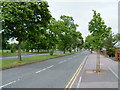
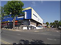
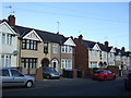
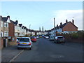
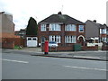
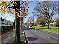
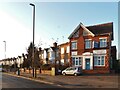
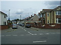

18 photos from this area
Area Information
Key information about the CV2 5GG including its size, population, and administrative classification.
- Area Type
- Postcode
- Area Size
- 8101 m²
- Population
- 1303
- Population Density
- 7062 people/km²
House Prices in CV2 5GG
32
Properties
£130,051
Average Sold Price
£46,500
Lowest Price
£240,000
Highest Price
Showing 32 properties
| Address | Type | Beds | Baths | Last Sale Price | Last Sale Date | |
|---|---|---|---|---|---|---|
| 52 Hermitage Road, Coventry, CV2 5GG | Terraced | 3 | 1 | £240,000 | Mar 2025 | |
| 4 Hermitage Road, Coventry, CV2 5GG | house | - | - | £205,000 | Nov 2021 | |
| 12 Hermitage Road, Coventry, CV2 5GG | house | - | - | £178,000 | Mar 2021 | |
| 46 Hermitage Road, Coventry, CV2 5GG | Terraced | 3 | 1 | £208,500 | Dec 2019 | |
| 62 Hermitage Road, Coventry, CV2 5GG | Terraced | 3 | 1 | £177,500 | Jun 2019 | |
| 30 Hermitage Road, Coventry, CV2 5GG | house | - | - | £151,975 | Jul 2017 | |
| 24 Hermitage Road, Coventry, CV2 5GG | Terraced | 3 | - | £158,000 | Dec 2016 | |
| 14 Hermitage Road, Coventry, CV2 5GG | house | - | - | £177,500 | Apr 2016 | |
| 20 Hermitage Road, Coventry, CV2 5GG | house | 3 | 1 | £145,000 | Jul 2015 | |
| 60 Hermitage Road, Coventry, CV2 5GG | Terraced | 3 | 1 | £125,000 | Oct 2014 |
Page 1 of 4
Energy Efficiency in CV2 5GG
Amenities
Schools
| Rank | School | Type | Entry gender | Ages |
|---|
Explore more schools in this area
Go to Schools tabDemographics
Household Size
Family (3-5 people)
most common
Accommodation Type
Houses
most common
Tenure
80
majority
Ethnic Group
White
most common
Religion
N/A
most common
Household Composition
N/A
most common
Age
47
median
Adults (30-64 years)
most common
Household Deprivation
N/A
with no deprivation
NS-SEC
29
in Lower managerial occupations
Explore more demographic insights in this area
Go to Demographics tabPlanning
Planning Constraints
- Flood RiskPremium
- Ramsar Wetland SitesPremium
- Area of Outstanding Natural BeautyPremium
- Protected Nature ReservePremium
- Protected WoodlandPremium