Area Overview for CV2 5GF
Photos of CV2 5GF
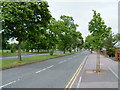
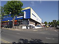
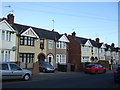
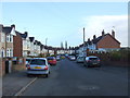
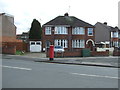
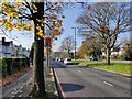
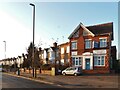
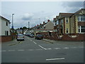

18 photos from this area
Area Information
Key information about the CV2 5GF including its size, population, and administrative classification.
- Area Type
- Postcode
- Area Size
- 8658 m²
- Population
- 1303
- Population Density
- 7062 people/km²
House Prices in CV2 5GF
32
Properties
£152,791
Average Sold Price
£44,950
Lowest Price
£285,000
Highest Price
Showing 32 properties
| Address | Type | Beds | Baths | Last Sale Price | Last Sale Date | |
|---|---|---|---|---|---|---|
| 37 Hermitage Road, Coventry, CV2 5GF | Terraced | 4 | 2 | £283,000 | Jun 2025 | |
| 29 Hermitage Road, Coventry, CV2 5GF | Terraced | 3 | 1 | £220,000 | Jan 2024 | |
| 61 Hermitage Road, Coventry, CV2 5GF | Terraced | 3 | 1 | £200,000 | Sep 2023 | |
| 59 Hermitage Road, Coventry, CV2 5GF | Detached | 3 | 1 | £235,000 | Sep 2023 | |
| 15 Hermitage Road, Coventry, CV2 5GF | house | - | - | £285,000 | Aug 2022 | |
| 39 Hermitage Road, Coventry, CV2 5GF | Terraced | 3 | 1 | £262,000 | Feb 2021 | |
| 33 Hermitage Road, Coventry, CV2 5GF | house | - | - | £150,000 | Jul 2020 | |
| 55 Hermitage Road, Coventry, CV2 5GF | Terraced | 3 | - | £153,000 | Sep 2017 | |
| 21 Hermitage Road, Coventry, CV2 5GF | Terraced | 3 | - | £163,000 | Aug 2017 | |
| 11 Hermitage Road, Coventry, CV2 5GF | Terraced | 3 | - | £176,000 | Dec 2016 |
Page 1 of 4
Energy Efficiency in CV2 5GF
Amenities
Schools
| Rank | School | Type | Entry gender | Ages |
|---|
Explore more schools in this area
Go to Schools tabDemographics
Household Size
Family (3-5 people)
most common
Accommodation Type
Houses
most common
Tenure
80
majority
Ethnic Group
White
most common
Religion
N/A
most common
Household Composition
N/A
most common
Age
47
median
Adults (30-64 years)
most common
Household Deprivation
N/A
with no deprivation
NS-SEC
29
in Lower managerial occupations
Explore more demographic insights in this area
Go to Demographics tabPlanning
Planning Constraints
- Flood RiskPremium
- Ramsar Wetland SitesPremium
- Area of Outstanding Natural BeautyPremium
- Protected Nature ReservePremium
- Protected WoodlandPremium