Area Overview for CV2 5FF
Photos of CV2 5FF
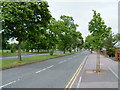
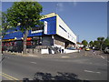
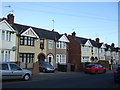
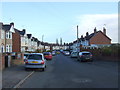
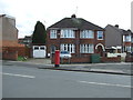
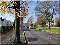
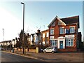
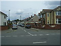
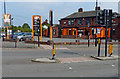


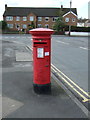
18 photos from this area
Area Information
Key information about the CV2 5FF including its size, population, and administrative classification.
- Area Type
- Postcode
- Area Size
- 1.6 hectares
- Population
- 1688
- Population Density
- 6586 people/km²
House Prices in CV2 5FF
48
Properties
£147,026
Average Sold Price
£41,000
Lowest Price
£370,000
Highest Price
Showing 48 properties
| Address | Type | Beds | Baths | Last Sale Price | Last Sale Date | |
|---|---|---|---|---|---|---|
| 12 Macdonald Road, Coventry, CV2 5FF | Terraced | 3 | 1 | £225,000 | Jun 2025 | |
| 60 Macdonald Road, Coventry, CV2 5FF | Terraced | 3 | 1 | £257,500 | Mar 2025 | |
| 86 Macdonald Road, Coventry, CV2 5FF | Terraced | 4 | 2 | £280,000 | Aug 2024 | |
| 2 Macdonald Road, Coventry, CV2 5FF | Terraced | 3 | 3 | £370,000 | Jun 2022 | |
| 92 Macdonald Road, Coventry, CV2 5FF | house | - | - | £230,000 | Jan 2022 | |
| 28 Macdonald Road, Coventry, CV2 5FF | house | - | - | £230,000 | Sep 2021 | |
| 18 Macdonald Road, Coventry, CV2 5FF | house | - | - | £188,500 | Sep 2021 | |
| 70 Macdonald Road, Coventry, CV2 5FF | house | - | - | £192,000 | Nov 2020 | |
| 76 Macdonald Road, Coventry, CV2 5FF | house | - | - | £190,000 | Jan 2020 | |
| 30 Macdonald Road, Coventry, CV2 5FF | house | - | - | £255,000 | Oct 2018 |
Page 1 of 5
Energy Efficiency in CV2 5FF
Amenities
Schools
| Rank | School | Type | Entry gender | Ages |
|---|
Explore more schools in this area
Go to Schools tabDemographics
Household Size
Family (3-5 people)
most common
Accommodation Type
Houses
most common
Tenure
76
majority
Ethnic Group
White
most common
Religion
N/A
most common
Household Composition
N/A
most common
Age
47
median
Adults (30-64 years)
most common
Household Deprivation
N/A
with no deprivation
NS-SEC
25
in Lower managerial occupations
Explore more demographic insights in this area
Go to Demographics tabPlanning
Planning Constraints
- Flood RiskPremium
- Ramsar Wetland SitesPremium
- Area of Outstanding Natural BeautyPremium
- Protected Nature ReservePremium
- Protected WoodlandPremium