Area Overview for CV2 5FB
Photos of CV2 5FB
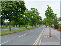
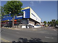
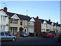
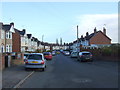
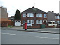
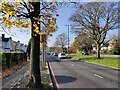
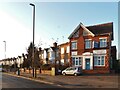
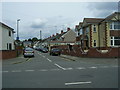

18 photos from this area
Area Information
Key information about the CV2 5FB including its size, population, and administrative classification.
- Area Type
- Postcode
- Area Size
- 1.4 hectares
- Population
- 1688
- Population Density
- 6586 people/km²
House Prices in CV2 5FB
27
Properties
£142,675
Average Sold Price
£48,500
Lowest Price
£230,000
Highest Price
Showing 27 properties
| Address | Type | Beds | Baths | Last Sale Price | Last Sale Date | |
|---|---|---|---|---|---|---|
| 56 Macaulay Road, Coventry, CV2 5FB | office_workshop | - | - | £210,000 | Aug 2022 | |
| 42 Macaulay Road, Coventry, CV2 5FB | Retail | 3 | 1 | £230,000 | Apr 2022 | |
| 38 Macaulay Road, Coventry, CV2 5FB | house | - | - | £185,000 | Feb 2021 | |
| 45 Macaulay Road, Coventry, CV2 5FB | house | - | - | £185,000 | Jan 2021 | |
| 59 Macaulay Road, Coventry, CV2 5FB | house | - | - | £187,500 | Dec 2020 | |
| 61 Macaulay Road, Coventry, CV2 5FB | house | 3 | - | £200,000 | Sep 2020 | |
| 40 Macaulay Road, Coventry, CV2 5FB | house | - | - | £158,000 | May 2010 | |
| 53 Macaulay Road, Coventry, CV2 5FB | house | - | - | £122,000 | Oct 2009 | |
| 54 Macaulay Road, Coventry, CV2 5FB | Maisonette | 2 | 1 | £83,000 | Mar 2009 | |
| 34 Macaulay Road, Coventry, CV2 5FB | Semi-detached | - | - | £134,950 | Oct 2006 |
Page 1 of 3
Energy Efficiency in CV2 5FB
Amenities
Schools
| Rank | School | Type | Entry gender | Ages |
|---|
Explore more schools in this area
Go to Schools tabDemographics
Household Size
Family (3-5 people)
most common
Accommodation Type
Houses
most common
Tenure
76
majority
Ethnic Group
White
most common
Religion
N/A
most common
Household Composition
N/A
most common
Age
47
median
Adults (30-64 years)
most common
Household Deprivation
N/A
with no deprivation
NS-SEC
25
in Lower managerial occupations
Explore more demographic insights in this area
Go to Demographics tabPlanning
Planning Constraints
- Flood RiskPremium
- Ramsar Wetland SitesPremium
- Area of Outstanding Natural BeautyPremium
- Protected Nature ReservePremium
- Protected WoodlandPremium