Area Overview for CV1 2UD
Photos of CV1 2UD
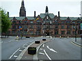
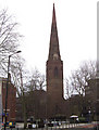

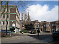
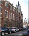
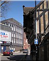
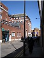
100 photos from this area
Area Information
Key information about the CV1 2UD including its size, population, and administrative classification.
- Area Type
- Postcode
- Area Size
- 1.2 hectares
- Population
- 2774
- Population Density
- 3470 people/km²
House Prices in CV1 2UD
43
Properties
£188,993
Average Sold Price
£93,950
Lowest Price
£330,000
Highest Price
Showing 43 properties
| Address | Type | Beds | Baths | Last Sale Price | Last Sale Date | |
|---|---|---|---|---|---|---|
| 17 Rodyard Way, Coventry, CV1 2UD | Terraced | 3 | 2 | £260,000 | Aug 2025 | |
| 6 Rodyard Way, Coventry, CV1 2UD | Terraced | 5 | 3 | £245,000 | Jan 2022 | |
| 24 Rodyard Way, Coventry, CV1 2UD | Terraced | 3 | 1 | £228,000 | Nov 2021 | |
| 40 Rodyard Way, Coventry, CV1 2UD | house | 4 | - | £330,000 | May 2021 | |
| 42 Rodyard Way, Coventry, CV1 2UD | Semi-detached | 5 | 3 | £310,000 | Feb 2021 | |
| 26 Rodyard Way, Coventry, CV1 2UD | Terraced | 4 | 3 | £245,000 | Feb 2021 | |
| 19 Rodyard Way, Coventry, CV1 2UD | house | - | - | £237,000 | Sep 2019 | |
| 15 Rodyard Way, Coventry, CV1 2UD | Terraced | 3 | 1 | £225,000 | Mar 2019 | |
| 35 Rodyard Way, Coventry, CV1 2UD | Terraced | 3 | 3 | £320,000 | Nov 2018 | |
| 34 Rodyard Way, Coventry, CV1 2UD | house | - | - | £315,500 | Oct 2016 |
Page 1 of 5
Energy Efficiency in CV1 2UD
Amenities
Schools
| Rank | School | Type | Entry gender | Ages |
|---|
Explore more schools in this area
Go to Schools tabDemographics
Household Size
One person
most common
Accommodation Type
Houses
most common
Tenure
46
majority
Ethnic Group
White
most common
Religion
N/A
most common
Household Composition
N/A
most common
Age
22
median
Young Adults (15-29 years)
most common
Household Deprivation
N/A
with no deprivation
NS-SEC
25
in Lower managerial occupations
Explore more demographic insights in this area
Go to Demographics tabPlanning
Planning Constraints
- Flood RiskPremium
- Ramsar Wetland SitesPremium
- Area of Outstanding Natural BeautyPremium
- Protected Nature ReservePremium
- Protected WoodlandPremium