Area Overview for B91 2JN
Photos of B91 2JN

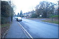
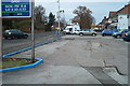
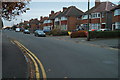
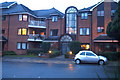
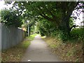
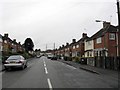
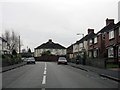
100 photos from this area
Area Information
Key information about the B91 2JN including its size, population, and administrative classification.
- Area Type
- Postcode
- Area Size
- 1.7 hectares
- Population
- 1824
- Population Density
- 3646 people/km²
House Prices in B91 2JN
48
Properties
£228,222
Average Sold Price
£185,000
Lowest Price
£285,000
Highest Price
Showing 48 properties
| Address | Type | Beds | Baths | Last Sale Price | Last Sale Date | |
|---|---|---|---|---|---|---|
| 3 Anchor Lane, Solihull, B91 2JN | Retail | 3 | 2 | £248,000 | Mar 2024 | |
| 7 Anchor Lane, Solihull, B91 2JN | Terraced | 2 | 1 | £258,000 | Mar 2023 | |
| 97 Anchor Lane, Solihull, B91 2JN | Semi-detached | 3 | 1 | £285,000 | Sep 2021 | |
| 15 Anchor Lane, Solihull, B91 2JN | Terraced | 3 | 2 | £243,000 | Mar 2019 | |
| 95 Anchor Lane, Solihull, B91 2JN | Semi-detached | 2 | 1 | £187,500 | Nov 2015 | |
| 5 Anchor Lane, Solihull, B91 2JN | Terraced | 2 | 2 | £185,000 | Oct 2006 | |
| 1 Anchor Lane, Solihull, B91 2JN | Semi-detached | 3 | 2 | £197,500 | Aug 2005 | |
| 11 Anchor Lane, Solihull, B91 2JN | Semi-detached | 3 | 2 | £230,000 | Dec 2004 | |
| 9 Anchor Lane, Solihull, B91 2JN | Semi-detached | 3 | 2 | £220,000 | Dec 2004 | |
| 63 Anchor Lane, Solihull, B91 2JN | Flat | - | - | - | - |
Page 1 of 5
Energy Efficiency in B91 2JN
Amenities
Schools
| Rank | School | Type | Entry gender | Ages |
|---|
Explore more schools in this area
Go to Schools tabDemographics
Household Size
Family (3-5 people)
most common
Accommodation Type
Houses
most common
Tenure
65
majority
Ethnic Group
White
most common
Religion
N/A
most common
Household Composition
N/A
most common
Age
47
median
Adults (30-64 years)
most common
Household Deprivation
N/A
with no deprivation
NS-SEC
41
in Lower managerial occupations
Explore more demographic insights in this area
Go to Demographics tabPlanning
Planning Constraints
- Flood RiskPremium
- Ramsar Wetland SitesPremium
- Area of Outstanding Natural BeautyPremium
- Protected Nature ReservePremium
- Protected WoodlandPremium