Area Overview for B91 2HP
Photos of B91 2HP
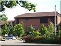

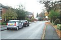
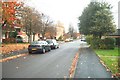
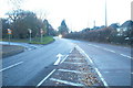
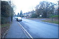
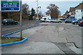
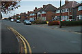
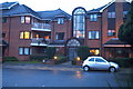
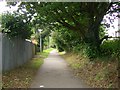
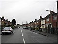
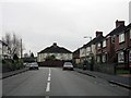
100 photos from this area
Area Information
Key information about the B91 2HP including its size, population, and administrative classification.
- Area Type
- Postcode
- Area Size
- 1.8 hectares
- Population
- 1824
- Population Density
- 3646 people/km²
House Prices in B91 2HP
16
Properties
£292,611
Average Sold Price
£220,000
Lowest Price
£353,000
Highest Price
Showing 16 properties
| Address | Type | Beds | Baths | Last Sale Price | Last Sale Date | |
|---|---|---|---|---|---|---|
| 166 Lode Lane, Solihull, B91 2HP | house | - | - | £315,000 | Jul 2023 | |
| 150 Lode Lane, Solihull, B91 2HP | house | - | - | £296,000 | Sep 2021 | |
| 172 Lode Lane, Solihull, B91 2HP | house | - | - | £353,000 | Aug 2021 | |
| 156 Lode Lane, Solihull, B91 2HP | house | - | - | £265,000 | Feb 2021 | |
| 168 Lode Lane, Solihull, B91 2HP | house | - | - | £240,000 | Oct 2020 | |
| 152 Lode Lane, Solihull, B91 2HP | Detached | 1 | 1 | £345,000 | Aug 2020 | |
| 174 Lode Lane, Solihull, B91 2HP | house | 4 | - | £350,000 | Aug 2019 | |
| 164 Lode Lane, Solihull, B91 2HP | Semi-detached | 3 | - | £249,500 | Mar 2019 | |
| 154 Lode Lane, Solihull, B91 2HP | house | - | - | £220,000 | Apr 2013 | |
| 158 Lode Lane, Solihull, B91 2HP | Semi-detached | - | - | - | - |
Page 1 of 2
Energy Efficiency in B91 2HP
Amenities
Schools
| Rank | School | Type | Entry gender | Ages |
|---|
Explore more schools in this area
Go to Schools tabDemographics
Household Size
Family (3-5 people)
most common
Accommodation Type
Houses
most common
Tenure
65
majority
Ethnic Group
White
most common
Religion
N/A
most common
Household Composition
N/A
most common
Age
47
median
Adults (30-64 years)
most common
Household Deprivation
N/A
with no deprivation
NS-SEC
41
in Lower managerial occupations
Explore more demographic insights in this area
Go to Demographics tabPlanning
Planning Constraints
- Flood RiskPremium
- Ramsar Wetland SitesPremium
- Area of Outstanding Natural BeautyPremium
- Protected Nature ReservePremium
- Protected WoodlandPremium