Area Overview for B91 1JG
Photos of B91 1JG
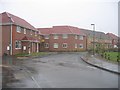
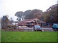
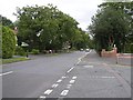
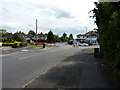
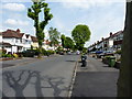
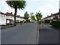
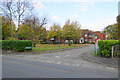
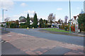
22 photos from this area
Area Information
Key information about the B91 1JG including its size, population, and administrative classification.
- Area Type
- Postcode
- Area Size
- 2.6 hectares
- Population
- 1485
- Population Density
- 3732 people/km²
House Prices in B91 1JG
32
Properties
£213,185
Average Sold Price
£78,950
Lowest Price
£475,000
Highest Price
Showing 32 properties
| Address | Type | Beds | Baths | Last Sale Price | Last Sale Date | |
|---|---|---|---|---|---|---|
| 38 Cornbury Grove, Solihull, B91 1JG | house | 3 | 1 | £352,000 | Feb 2025 | |
| 11 Cornbury Grove, Solihull, B91 1JG | Terraced | 3 | 1 | £387,500 | Dec 2024 | |
| 5 Cornbury Grove, Solihull, B91 1JG | Terraced | 3 | 2 | £420,000 | May 2024 | |
| 16 Cornbury Grove, Solihull, B91 1JG | house | - | - | £280,000 | Oct 2022 | |
| 40 Cornbury Grove, Solihull, B91 1JG | Terraced | 3 | 1 | £267,000 | Oct 2020 | |
| 36 Cornbury Grove, Solihull, B91 1JG | Terraced | 3 | 1 | £335,000 | Sep 2018 | |
| 2 Cornbury Grove, Solihull, B91 1JG | Detached | 4 | 2 | £475,000 | Sep 2017 | |
| 21 Cornbury Grove, Solihull, B91 1JG | Terraced | 3 | 2 | £284,000 | Nov 2015 | |
| 3 Cornbury Grove, Solihull, B91 1JG | house | 4 | - | £285,000 | Apr 2012 | |
| 22 Cornbury Grove, Solihull, B91 1JG | house | - | - | £172,000 | Dec 2011 |
Page 1 of 4
Energy Efficiency in B91 1JG
Amenities
Schools
| Rank | School | Type | Entry gender | Ages |
|---|
Explore more schools in this area
Go to Schools tabDemographics
Household Size
Family (3-5 people)
most common
Accommodation Type
Houses
most common
Tenure
87
majority
Ethnic Group
White
most common
Religion
N/A
most common
Household Composition
N/A
most common
Age
47
median
Adults (30-64 years)
most common
Household Deprivation
N/A
with no deprivation
NS-SEC
47
in Lower managerial occupations
Explore more demographic insights in this area
Go to Demographics tabPlanning
Planning Constraints
- Flood RiskPremium
- Ramsar Wetland SitesPremium
- Area of Outstanding Natural BeautyPremium
- Protected Nature ReservePremium
- Protected WoodlandPremium