Area Overview for B91 1HG
Photos of B91 1HG
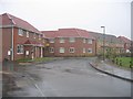
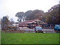
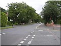
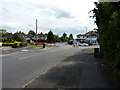
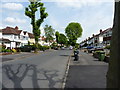
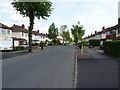
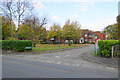
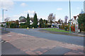
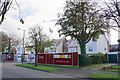
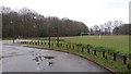
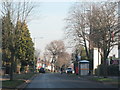
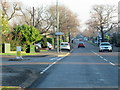
22 photos from this area
Area Information
Key information about the B91 1HG including its size, population, and administrative classification.
- Area Type
- Postcode
- Area Size
- 2.6 hectares
- Population
- 1485
- Population Density
- 3732 people/km²
House Prices in B91 1HG
42
Properties
£348,800
Average Sold Price
£96,200
Lowest Price
£715,000
Highest Price
Showing 42 properties
| Address | Type | Beds | Baths | Last Sale Price | Last Sale Date | |
|---|---|---|---|---|---|---|
| 36 Rothwell Drive, Solihull, B91 1HG | house | 5 | 2 | £701,500 | Jan 2025 | |
| 39 Rothwell Drive, Solihull, B91 1HG | Detached | 3 | 2 | £500,000 | Sep 2022 | |
| 60 Rothwell Drive, Solihull, B91 1HG | house | 5 | 3 | £715,000 | Apr 2022 | |
| 18 Rothwell Drive, Solihull, B91 1HG | house | - | - | £590,000 | Aug 2016 | |
| 21 Rothwell Drive, Solihull, B91 1HG | house | 4 | - | £527,000 | Aug 2016 | |
| 56 Rothwell Drive, Solihull, B91 1HG | house | 4 | 2 | £465,000 | Oct 2015 | |
| 25 Rothwell Drive, Solihull, B91 1HG | Detached | 5 | 2 | £570,000 | Feb 2015 | |
| 32 Rothwell Drive, Solihull, B91 1HG | Detached | 5 | - | £465,000 | Dec 2014 | |
| 24 Rothwell Drive, Solihull, B91 1HG | Detached | 4 | 2 | £410,000 | Sep 2014 | |
| 54 Rothwell Drive, Solihull, B91 1HG | Detached | 5 | 2 | £495,000 | Aug 2014 |
Page 1 of 5
Energy Efficiency in B91 1HG
Amenities
Schools
| Rank | School | Type | Entry gender | Ages |
|---|
Explore more schools in this area
Go to Schools tabDemographics
Household Size
Family (3-5 people)
most common
Accommodation Type
Houses
most common
Tenure
87
majority
Ethnic Group
White
most common
Religion
N/A
most common
Household Composition
N/A
most common
Age
47
median
Adults (30-64 years)
most common
Household Deprivation
N/A
with no deprivation
NS-SEC
47
in Lower managerial occupations
Explore more demographic insights in this area
Go to Demographics tabPlanning
Planning Constraints
- Flood RiskPremium
- Ramsar Wetland SitesPremium
- Area of Outstanding Natural BeautyPremium
- Protected Nature ReservePremium