Area Overview for B90 2NR
Photos of B90 2NR

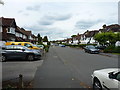
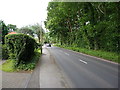
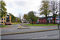
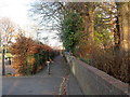
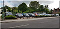
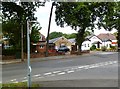

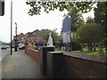
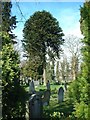

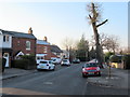
21 photos from this area
Area Information
Key information about the B90 2NR including its size, population, and administrative classification.
- Area Type
- Postcode
- Area Size
- 1.5 hectares
- Population
- 1529
- Population Density
- 2905 people/km²
House Prices in B90 2NR
27
Properties
£301,532
Average Sold Price
£78,000
Lowest Price
£650,000
Highest Price
Showing 27 properties
| Address | Type | Beds | Baths | Last Sale Price | Last Sale Date | |
|---|---|---|---|---|---|---|
| 11 Bills Lane, Shirley, Solihull, B90 2NR | Detached | 4 | 2 | £650,000 | Aug 2023 | |
| 28 Bills Lane, Shirley, Solihull, B90 2NR | house | 4 | 3 | £621,000 | Apr 2022 | |
| 25 Bills Lane, Shirley, Solihull, B90 2NR | Semi-detached | 4 | 2 | £349,950 | Sep 2019 | |
| 16 Bills Lane, Shirley, Solihull, B90 2NR | Detached | 3 | 2 | £450,000 | Dec 2018 | |
| 20 Bills Lane, Shirley, Solihull, B90 2NR | house | - | - | £399,950 | May 2016 | |
| 27 Bills Lane, Shirley, Solihull, B90 2NR | Semi-detached | 4 | - | £300,000 | Oct 2015 | |
| 14 Bills Lane, Shirley, Solihull, B90 2NR | Detached | 5 | - | £430,000 | Jun 2013 | |
| 39 Bills Lane, Shirley, Solihull, B90 2NR | house | - | - | £210,000 | Sep 2011 | |
| 35 Bills Lane, Shirley, Solihull, B90 2NR | Flat | 2 | 1 | £215,000 | May 2011 | |
| 41 Bills Lane, Shirley, Solihull, B90 2NR | Semi-detached | - | - | £193,000 | Oct 2009 |
Page 1 of 3
Energy Efficiency in B90 2NR
Amenities
Schools
| Rank | School | Type | Entry gender | Ages |
|---|
Explore more schools in this area
Go to Schools tabDemographics
Household Size
Two person
most common
Accommodation Type
Houses
most common
Tenure
94
majority
Ethnic Group
White
most common
Religion
N/A
most common
Household Composition
N/A
most common
Age
47
median
Adults (30-64 years)
most common
Household Deprivation
N/A
with no deprivation
NS-SEC
45
in Lower managerial occupations
Explore more demographic insights in this area
Go to Demographics tabPlanning
Planning Constraints
- Flood RiskPremium
- Ramsar Wetland SitesPremium
- Area of Outstanding Natural BeautyPremium
- Protected Nature ReservePremium
- Protected WoodlandPremium