Area Overview for B90 2DB
Photos of B90 2DB

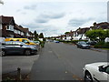
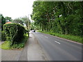
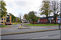
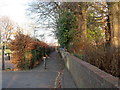
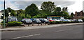
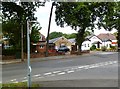

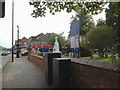


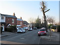
21 photos from this area
Area Information
Key information about the B90 2DB including its size, population, and administrative classification.
- Area Type
- Postcode
- Area Size
- 1.4 hectares
- Population
- 1247
- Population Density
- 3497 people/km²
House Prices in B90 2DB
27
Properties
£172,993
Average Sold Price
£55,000
Lowest Price
£265,000
Highest Price
Showing 27 properties
| Address | Type | Beds | Baths | Last Sale Price | Last Sale Date | |
|---|---|---|---|---|---|---|
| 58 Gilliver Road, Shirley, Solihull, B90 2DB | Retail | 3 | 1 | £265,000 | Mar 2023 | |
| 36 Gilliver Road, Shirley, Solihull, B90 2DB | house | - | - | £130,000 | Oct 2021 | |
| 50 Gilliver Road, Shirley, Solihull, B90 2DB | house | - | - | £259,950 | Jan 2021 | |
| 66 Gilliver Road, Shirley, Solihull, B90 2DB | Semi-detached | 3 | 1 | £242,000 | Dec 2018 | |
| 6 Gilliver Road, Shirley, Solihull, B90 2DB | house | - | - | £230,000 | Feb 2018 | |
| 54 Gilliver Road, Shirley, Solihull, B90 2DB | Semi-detached | 3 | 1 | £189,950 | Nov 2015 | |
| 18 Gilliver Road, Shirley, Solihull, B90 2DB | Semi-detached | 3 | - | £157,000 | Oct 2013 | |
| 42 Gilliver Road, Shirley, Solihull, B90 2DB | house | 3 | - | £140,000 | Jun 2010 | |
| 46 Gilliver Road, Shirley, Solihull, B90 2DB | house | - | - | £175,000 | Mar 2010 | |
| 34 Gilliver Road, Shirley, Solihull, B90 2DB | Semi-detached | - | - | £165,000 | Mar 2006 |
Page 1 of 3
Energy Efficiency in B90 2DB
Amenities
Schools
| Rank | School | Type | Entry gender | Ages |
|---|
Explore more schools in this area
Go to Schools tabDemographics
Household Size
Family (3-5 people)
most common
Accommodation Type
Houses
most common
Tenure
73
majority
Ethnic Group
White
most common
Religion
N/A
most common
Household Composition
N/A
most common
Age
47
median
Adults (30-64 years)
most common
Household Deprivation
N/A
with no deprivation
NS-SEC
34
in Lower managerial occupations
Explore more demographic insights in this area
Go to Demographics tabPlanning
Planning Constraints
- Flood RiskPremium
- Ramsar Wetland SitesPremium
- Area of Outstanding Natural BeautyPremium
- Protected Nature ReservePremium
- Protected WoodlandPremium