Area Overview for B90 2DH
Photos of B90 2DH

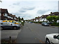
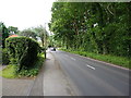
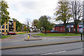
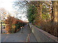
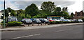
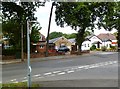

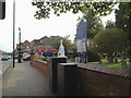

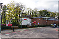
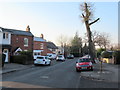
21 photos from this area
Area Information
Key information about the B90 2DH including its size, population, and administrative classification.
- Area Type
- Postcode
- Area Size
- 1.0 hectares
- Population
- 1666
- Population Density
- 4939 people/km²
House Prices in B90 2DH
18
Properties
£160,443
Average Sold Price
£40,000
Lowest Price
£312,000
Highest Price
Showing 18 properties
| Address | Type | Beds | Baths | Last Sale Price | Last Sale Date | |
|---|---|---|---|---|---|---|
| 19 Grenville Road, Shirley, Solihull, B90 2DH | Semi-detached | 3 | 1 | £250,000 | Mar 2023 | |
| 8 Grenville Road, Shirley, Solihull, B90 2DH | Semi-detached | 3 | - | £312,000 | Oct 2022 | |
| 17 Grenville Road, Shirley, Solihull, B90 2DH | Semi-detached | 3 | 1 | £235,000 | Jun 2021 | |
| 1 Grenville Road, Shirley, Solihull, B90 2DH | Semi-detached | 4 | 3 | £187,500 | Dec 2014 | |
| 7 Grenville Road, Shirley, Solihull, B90 2DH | house | - | - | £145,800 | Dec 2013 | |
| 11 Grenville Road, Shirley, Solihull, B90 2DH | Semi-detached | 3 | - | £171,000 | Jun 2012 | |
| 18 Grenville Road, Shirley, Solihull, B90 2DH | house | 3 | - | £172,500 | May 2012 | |
| 9 Grenville Road, Shirley, Solihull, B90 2DH | Semi-detached | 3 | 1 | £142,950 | Jan 2007 | |
| 25 Grenville Road, Shirley, Solihull, B90 2DH | Semi-detached | - | - | £174,000 | May 2005 | |
| 15 Grenville Road, Shirley, Solihull, B90 2DH | Semi-detached | - | - | £149,950 | Apr 2004 |
Page 1 of 2
Energy Efficiency in B90 2DH
Amenities
Schools
| Rank | School | Type | Entry gender | Ages |
|---|
Explore more schools in this area
Go to Schools tabDemographics
Household Size
Family (3-5 people)
most common
Accommodation Type
Houses
most common
Tenure
87
majority
Ethnic Group
White
most common
Religion
N/A
most common
Household Composition
N/A
most common
Age
47
median
Adults (30-64 years)
most common
Household Deprivation
N/A
with no deprivation
NS-SEC
41
in Lower managerial occupations
Explore more demographic insights in this area
Go to Demographics tabPlanning
Planning Constraints
- Flood RiskPremium
- Ramsar Wetland SitesPremium
- Area of Outstanding Natural BeautyPremium
- Protected Nature ReservePremium
- Protected WoodlandPremium