Area Overview for B80 7QJ
Photos of B80 7QJ
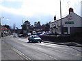
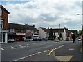
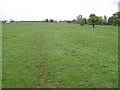
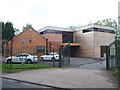
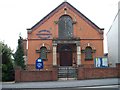
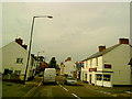
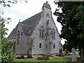
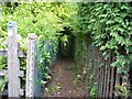
55 photos from this area
Area Information
Key information about the B80 7QJ including its size, population, and administrative classification.
- Area Type
- Postcode
- Area Size
- 3.1 hectares
- Population
- 1485
- Population Density
- 2707 people/km²
House Prices in B80 7QJ
46
Properties
£193,227
Average Sold Price
£66,500
Lowest Price
£310,000
Highest Price
Showing 46 properties
| Address | Type | Beds | Baths | Last Sale Price | Last Sale Date | |
|---|---|---|---|---|---|---|
| 34 Foster Avenue, Studley, B80 7QJ | Semi-detached | 3 | 1 | £310,000 | Jan 2025 | |
| 1 Foster Avenue, Studley, B80 7QJ | house | - | - | £269,000 | Feb 2023 | |
| 29 Foster Avenue, Studley, B80 7QJ | Semi-detached | 3 | 1 | £301,000 | Jan 2022 | |
| 5 Foster Avenue, Studley, B80 7QJ | Terraced | 3 | 1 | £226,500 | Apr 2021 | |
| 14 Foster Avenue, Studley, B80 7QJ | Semi-detached | - | - | £225,000 | Oct 2020 | |
| 17 Foster Avenue, Studley, B80 7QJ | Semi-detached | 3 | 1 | £197,500 | Sep 2018 | |
| 26 Foster Avenue, Studley, B80 7QJ | Terraced | 3 | - | £148,000 | Jul 2013 | |
| 36 Foster Avenue, Studley, B80 7QJ | house | - | - | £142,000 | Sep 2009 | |
| 3 Foster Avenue, Studley, B80 7QJ | Terraced | - | - | £155,000 | Mar 2005 | |
| 7 Foster Avenue, Studley, B80 7QJ | Terraced | - | - | £85,000 | Oct 2001 |
Page 1 of 5
Energy Efficiency in B80 7QJ
Amenities
Schools
| Rank | School | Type | Entry gender | Ages |
|---|
Explore more schools in this area
Go to Schools tabDemographics
Household Size
Two person
most common
Accommodation Type
Houses
most common
Tenure
83
majority
Ethnic Group
White
most common
Religion
N/A
most common
Household Composition
N/A
most common
Age
47
median
Adults (30-64 years)
most common
Household Deprivation
N/A
with no deprivation
NS-SEC
35
in Lower managerial occupations
Explore more demographic insights in this area
Go to Demographics tabPlanning
Planning Constraints
- Flood RiskPremium
- Ramsar Wetland SitesPremium
- Area of Outstanding Natural BeautyPremium
- Protected Nature ReservePremium
- Protected WoodlandPremium