Area Overview for B80 7QH
Photos of B80 7QH
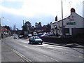
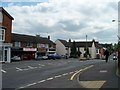
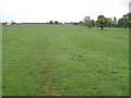
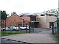

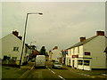

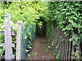
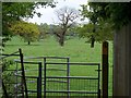
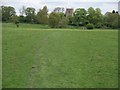
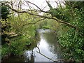
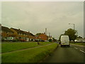
55 photos from this area
Area Information
Key information about the B80 7QH including its size, population, and administrative classification.
- Area Type
- Postcode
- Area Size
- 3750 m²
- Population
- 1528
- Population Density
- 1487 people/km²
House Prices in B80 7QH
17
Properties
£153,359
Average Sold Price
£51,500
Lowest Price
£255,000
Highest Price
Showing 17 properties
| Address | Type | Beds | Baths | Last Sale Price | Last Sale Date | |
|---|---|---|---|---|---|---|
| 11 Toms Town Lane, Studley, B80 7QH | house | 2 | 1 | £212,000 | Nov 2022 | |
| 10 Toms Town Lane, Studley, B80 7QH | house | - | - | £184,000 | Nov 2020 | |
| 12 Toms Town Lane, Studley, B80 7QH | Terraced | 4 | 1 | £255,000 | Aug 2018 | |
| 6 Toms Town Lane, Studley, B80 7QH | house | 2 | 2 | £169,950 | Apr 2018 | |
| 3 Toms Town Lane, Studley, B80 7QH | house | - | - | £144,000 | Jan 2018 | |
| 2 Toms Town Lane, Studley, B80 7QH | Flat | - | - | £115,000 | Jul 2016 | |
| Ayana Cottage, 8 Toms Town Lane, Studley, B80 7QH | house | 2 | - | £136,000 | Dec 2015 | |
| 23 Toms Town Lane, Studley, B80 7QH | house | 3 | - | £194,500 | Nov 2015 | |
| 1 Toms Town Lane, Studley, B80 7QH | Terraced | - | - | £115,000 | Aug 2004 | |
| 5 Toms Town Lane, Studley, B80 7QH | Terraced | - | - | £110,000 | Oct 2003 |
Page 1 of 2
Energy Efficiency in B80 7QH
Amenities
Schools
| Rank | School | Type | Entry gender | Ages |
|---|
Explore more schools in this area
Go to Schools tabDemographics
Household Size
Two person
most common
Accommodation Type
Houses
most common
Tenure
66
majority
Ethnic Group
White
most common
Religion
N/A
most common
Household Composition
N/A
most common
Age
47
median
Adults (30-64 years)
most common
Household Deprivation
N/A
with no deprivation
NS-SEC
31
in Lower managerial occupations
Explore more demographic insights in this area
Go to Demographics tabPlanning
Planning Constraints
- Flood RiskPremium
- Ramsar Wetland SitesPremium
- Area of Outstanding Natural BeautyPremium
- Protected Nature ReservePremium
- Protected WoodlandPremium