Area Overview for B8 3NX
Photos of B8 3NX
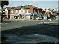
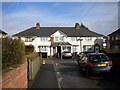
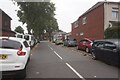
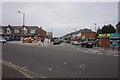
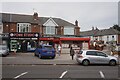
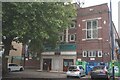
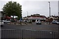
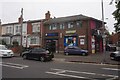
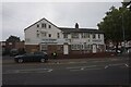
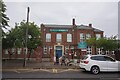
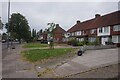
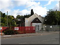
28 photos from this area
Area Information
Key information about the B8 3NX including its size, population, and administrative classification.
- Area Type
- Postcode
- Area Size
- 8086 m²
- Population
- 2025
- Population Density
- 9859 people/km²
House Prices in B8 3NX
32
Properties
£86,375
Average Sold Price
£30,000
Lowest Price
£156,000
Highest Price
Showing 32 properties
| Address | Type | Beds | Baths | Last Sale Price | Last Sale Date | |
|---|---|---|---|---|---|---|
| 56 Sladefield Road, Birmingham, B8 3NX | Terraced | 2 | 1 | £120,000 | Nov 2020 | |
| 38 Sladefield Road, Birmingham, B8 3NX | Terraced | 3 | 2 | £156,000 | Jun 2018 | |
| 28 Sladefield Road, Birmingham, B8 3NX | Terraced | 3 | 2 | £109,000 | Nov 2017 | |
| 16 Sladefield Road, Birmingham, B8 3NX | Terraced | 3 | 1 | £126,000 | Aug 2017 | |
| 20 Sladefield Road, Birmingham, B8 3NX | house | - | - | £84,999 | Sep 2014 | |
| 72 Sladefield Road, Birmingham, B8 3NX | Terraced | 4 | 2 | £80,000 | Apr 2014 | |
| 54 Sladefield Road, Birmingham, B8 3NX | house | - | - | £110,000 | Nov 2013 | |
| 26 Sladefield Road, Birmingham, B8 3NX | house | - | - | £100,000 | Mar 2011 | |
| 62 Sladefield Road, Birmingham, B8 3NX | house | 2 | - | £91,000 | Jul 2010 | |
| 58 Sladefield Road, Birmingham, B8 3NX | house | - | - | £106,500 | May 2006 |
Page 1 of 4
Energy Efficiency in B8 3NX
Amenities
Schools
| Rank | School | Type | Entry gender | Ages |
|---|
Explore more schools in this area
Go to Schools tabDemographics
Household Size
Family (3-5 people)
most common
Accommodation Type
Houses
most common
Tenure
54
majority
Ethnic Group
asian_total
most common
Religion
N/A
most common
Household Composition
N/A
most common
Age
22
median
Adults (30-64 years)
most common
Household Deprivation
N/A
with no deprivation
NS-SEC
11
in Lower managerial occupations
Explore more demographic insights in this area
Go to Demographics tabPlanning
Planning Constraints
- Flood RiskPremium
- Ramsar Wetland SitesPremium
- Area of Outstanding Natural BeautyPremium
- Protected Nature ReservePremium
- Protected WoodlandPremium