Area Overview for B8 2LU
Photos of B8 2LU
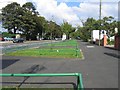
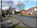
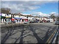
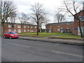
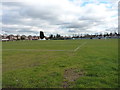
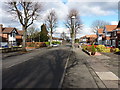
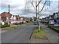
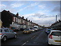
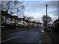
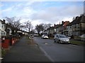
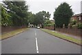
39 photos from this area
Area Information
Key information about the B8 2LU including its size, population, and administrative classification.
- Area Type
- Postcode
- Area Size
- 4407 m²
- Population
- 2161
- Population Density
- 5357 people/km²
House Prices in B8 2LU
14
Properties
£104,743
Average Sold Price
£32,000
Lowest Price
£168,000
Highest Price
Showing 14 properties
| Address | Type | Beds | Baths | Last Sale Price | Last Sale Date | |
|---|---|---|---|---|---|---|
| 906 Alum Rock Road, Birmingham, B8 2LU | house | - | - | £60,000 | Feb 2024 | |
| 894 Alum Rock Road, Birmingham, B8 2LU | house | - | - | £168,000 | Apr 2021 | |
| 910 Alum Rock Road, Birmingham, B8 2LU | house | - | - | £150,000 | Jun 2019 | |
| 902 Alum Rock Road, Birmingham, B8 2LU | Terraced | 3 | 2 | £115,200 | Oct 2015 | |
| 896 Alum Rock Road, Birmingham, B8 2LU | house | 3 | - | £125,000 | May 2014 | |
| 908 Alum Rock Road, Birmingham, B8 2LU | house | - | - | £83,000 | Nov 2002 | |
| 900 Alum Rock Road, Birmingham, B8 2LU | Flat | - | - | £32,000 | Jul 1995 | |
| 904 Alum Rock Road, Birmingham, B8 2LU | Terraced | 3 | - | - | - | |
| 912A Alum Rock Road, Birmingham, B8 2LU | Flat | - | - | - | - | |
| 898A Alum Rock Road, Birmingham, B8 2LU | Flat | - | - | - | - |
Page 1 of 2
Energy Efficiency in B8 2LU
Amenities
Schools
| Rank | School | Type | Entry gender | Ages |
|---|
Explore more schools in this area
Go to Schools tabDemographics
Household Size
Family (3-5 people)
most common
Accommodation Type
Houses
most common
Tenure
48
majority
Ethnic Group
asian_total
most common
Religion
N/A
most common
Household Composition
N/A
most common
Age
22
median
Adults (30-64 years)
most common
Household Deprivation
N/A
with no deprivation
NS-SEC
11
in Lower managerial occupations
Explore more demographic insights in this area
Go to Demographics tabPlanning
Planning Constraints
- Flood RiskPremium
- Ramsar Wetland SitesPremium
- Area of Outstanding Natural BeautyPremium
- Protected Nature ReservePremium
- Protected WoodlandPremium