Area Overview for B8 2LB
Photos of B8 2LB
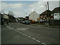
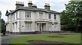
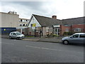
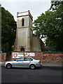
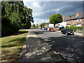
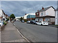
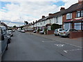

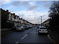
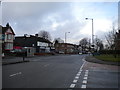
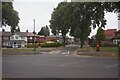
26 photos from this area
Area Information
Key information about the B8 2LB including its size, population, and administrative classification.
- Area Type
- Postcode
- Area Size
- 1.3 hectares
- Population
- 2196
- Population Density
- 10286 people/km²
House Prices in B8 2LB
35
Properties
£117,528
Average Sold Price
£36,500
Lowest Price
£270,000
Highest Price
Showing 35 properties
| Address | Type | Beds | Baths | Last Sale Price | Last Sale Date | |
|---|---|---|---|---|---|---|
| 59 Chetwynd Road, Birmingham, B8 2LB | Semi-detached | 3 | 1 | £270,000 | Jun 2023 | |
| 55 Chetwynd Road, Birmingham, B8 2LB | house | 3 | 1 | £245,000 | Jul 2022 | |
| 57 Chetwynd Road, Birmingham, B8 2LB | house | - | - | £178,000 | Mar 2021 | |
| 19 Chetwynd Road, Birmingham, B8 2LB | Semi-detached | 3 | 2 | £200,000 | Nov 2019 | |
| 3 Chetwynd Road, Birmingham, B8 2LB | Detached | 2 | 1 | £108,750 | Sep 2018 | |
| 41 Chetwynd Road, Birmingham, B8 2LB | Semi-detached | 3 | 1 | £140,000 | Aug 2017 | |
| 43 Chetwynd Road, Birmingham, B8 2LB | house | - | - | £145,000 | Jan 2017 | |
| 47 Chetwynd Road, Birmingham, B8 2LB | Terraced | - | - | £120,000 | Mar 2015 | |
| 31 Chetwynd Road, Birmingham, B8 2LB | house | - | - | £142,000 | Jul 2011 | |
| 15 Chetwynd Road, Birmingham, B8 2LB | house | - | - | £100,000 | May 2010 |
Page 1 of 4
Energy Efficiency in B8 2LB
Amenities
Schools
| Rank | School | Type | Entry gender | Ages |
|---|
Explore more schools in this area
Go to Schools tabDemographics
Household Size
Family (3-5 people)
most common
Accommodation Type
Houses
most common
Tenure
59
majority
Ethnic Group
asian_total
most common
Religion
N/A
most common
Household Composition
N/A
most common
Age
22
median
Adults (30-64 years)
most common
Household Deprivation
N/A
with no deprivation
NS-SEC
13
in Lower managerial occupations
Explore more demographic insights in this area
Go to Demographics tabPlanning
Planning Constraints
- Flood RiskPremium
- Ramsar Wetland SitesPremium
- Area of Outstanding Natural BeautyPremium
- Protected Nature ReservePremium
- Protected WoodlandPremium