Area Overview for B8 2JU
Photos of B8 2JU
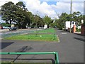
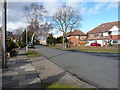
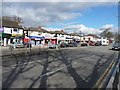
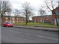
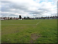
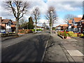
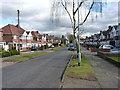
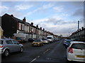
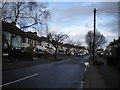
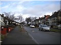
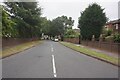

39 photos from this area
Area Information
Key information about the B8 2JU including its size, population, and administrative classification.
- Area Type
- Postcode
- Area Size
- 5420 m²
- Population
- 2196
- Population Density
- 10286 people/km²
House Prices in B8 2JU
23
Properties
£88,148
Average Sold Price
£24,570
Lowest Price
£160,000
Highest Price
Showing 23 properties
| Address | Type | Beds | Baths | Last Sale Price | Last Sale Date | |
|---|---|---|---|---|---|---|
| 46 St Josephs Road, Birmingham, B8 2JU | house | - | - | £160,000 | Nov 2020 | |
| 12 St Josephs Road, Birmingham, B8 2JU | house | - | - | £150,000 | Sep 2020 | |
| 40 St Josephs Road, Birmingham, B8 2JU | house | - | - | £135,000 | Mar 2020 | |
| 24 St Josephs Road, Birmingham, B8 2JU | Terraced | - | - | £100,000 | Sep 2019 | |
| 34 St Josephs Road, Birmingham, B8 2JU | Terraced | 2 | 1 | £113,000 | May 2018 | |
| 26 St Josephs Road, Birmingham, B8 2JU | house | 3 | - | £101,000 | Mar 2016 | |
| 18 St Josephs Road, Birmingham, B8 2JU | Terraced | 3 | 2 | £145,000 | Jan 2016 | |
| 16 St Josephs Road, Birmingham, B8 2JU | Terraced | 3 | 2 | £135,000 | Oct 2015 | |
| 38 St Josephs Road, Birmingham, B8 2JU | Terraced | - | - | £100,000 | Sep 2005 | |
| 32 St Josephs Road, Birmingham, B8 2JU | Terraced | 3 | 2 | £70,000 | Nov 2002 |
Page 1 of 3
Energy Efficiency in B8 2JU
Amenities
Schools
| Rank | School | Type | Entry gender | Ages |
|---|
Explore more schools in this area
Go to Schools tabDemographics
Household Size
Family (3-5 people)
most common
Accommodation Type
Houses
most common
Tenure
59
majority
Ethnic Group
asian_total
most common
Religion
N/A
most common
Household Composition
N/A
most common
Age
22
median
Adults (30-64 years)
most common
Household Deprivation
N/A
with no deprivation
NS-SEC
13
in Lower managerial occupations
Explore more demographic insights in this area
Go to Demographics tabPlanning
Planning Constraints
- Flood RiskPremium
- Ramsar Wetland SitesPremium
- Area of Outstanding Natural BeautyPremium
- Protected Nature ReservePremium
- Protected WoodlandPremium