Area Overview for B8 2NP
Photos of B8 2NP
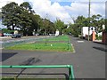
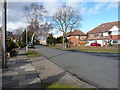
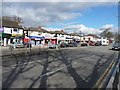
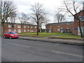
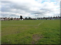
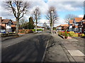
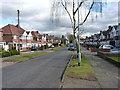
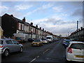
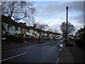
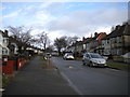
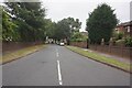

39 photos from this area
Area Information
Key information about the B8 2NP including its size, population, and administrative classification.
- Area Type
- Postcode
- Area Size
- 1.0 hectares
- Population
- 2196
- Population Density
- 10286 people/km²
House Prices in B8 2NP
34
Properties
£107,703
Average Sold Price
£25,000
Lowest Price
£220,000
Highest Price
Showing 34 properties
| Address | Type | Beds | Baths | Last Sale Price | Last Sale Date | |
|---|---|---|---|---|---|---|
| 781 Washwood Heath Road, Birmingham, B8 2NP | house | - | - | £175,000 | Mar 2025 | |
| 803 Washwood Heath Road, Birmingham, B8 2NP | Terraced | 3 | 1 | £220,000 | Jan 2025 | |
| 809 Washwood Heath Road, Birmingham, B8 2NP | house | - | - | £75,496 | Aug 2023 | |
| 785 Washwood Heath Road, Birmingham, B8 2NP | Terraced | 2 | 1 | £178,000 | Aug 2021 | |
| 807 Washwood Heath Road, Birmingham, B8 2NP | Terraced | 2 | 1 | £152,000 | Aug 2021 | |
| 759 Washwood Heath Road, Birmingham, B8 2NP | Terraced | 3 | 1 | £136,000 | Jun 2018 | |
| 771 Washwood Heath Road, Birmingham, B8 2NP | house | - | - | £60,000 | Mar 2018 | |
| 819 Washwood Heath Road, Birmingham, B8 2NP | house | 2 | 1 | £110,000 | May 2016 | |
| 815 Washwood Heath Road, Birmingham, B8 2NP | Terraced | 3 | 1 | £100,000 | Apr 2016 | |
| 767 Washwood Heath Road, Birmingham, B8 2NP | house | - | - | £135,000 | Jul 2015 |
Page 1 of 4
Energy Efficiency in B8 2NP
Amenities
Schools
| Rank | School | Type | Entry gender | Ages |
|---|
Explore more schools in this area
Go to Schools tabDemographics
Household Size
Family (3-5 people)
most common
Accommodation Type
Houses
most common
Tenure
59
majority
Ethnic Group
asian_total
most common
Religion
N/A
most common
Household Composition
N/A
most common
Age
22
median
Adults (30-64 years)
most common
Household Deprivation
N/A
with no deprivation
NS-SEC
13
in Lower managerial occupations
Explore more demographic insights in this area
Go to Demographics tabPlanning
Planning Constraints
- Flood RiskPremium
- Ramsar Wetland SitesPremium
- Area of Outstanding Natural BeautyPremium
- Protected Nature ReservePremium
- Protected WoodlandPremium