Area Overview for B71 2NY
Photos of B71 2NY
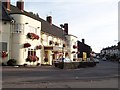
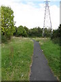
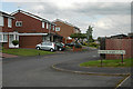
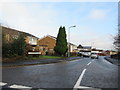
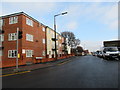
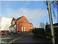
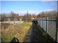
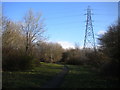
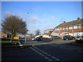
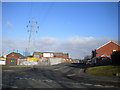
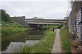

27 photos from this area
Area Information
Key information about the B71 2NY including its size, population, and administrative classification.
- Area Type
- Postcode
- Area Size
- 2.6 hectares
- Population
- 1821
- Population Density
- 7319 people/km²
House Prices in B71 2NY
63
Properties
£118,676
Average Sold Price
£41,500
Lowest Price
£195,000
Highest Price
Showing 63 properties
| Address | Type | Beds | Baths | Last Sale Price | Last Sale Date | |
|---|---|---|---|---|---|---|
| 77 Winchester Road, West Bromwich, B71 2NY | Detached | 2 | 1 | £175,000 | May 2025 | |
| 42 Winchester Road, West Bromwich, B71 2NY | Detached | 3 | 1 | £145,000 | Sep 2023 | |
| 85 Winchester Road, West Bromwich, B71 2NY | house | - | - | £160,000 | Apr 2022 | |
| 121 Winchester Road, West Bromwich, B71 2NY | house | - | - | £172,500 | Apr 2021 | |
| 91 Winchester Road, West Bromwich, B71 2NY | house | - | - | £160,000 | Aug 2020 | |
| 69 Winchester Road, West Bromwich, B71 2NY | Semi-detached | 3 | 2 | £195,000 | Jul 2020 | |
| 52 Winchester Road, West Bromwich, B71 2NY | Semi-detached | 2 | 1 | £110,000 | Mar 2019 | |
| 57 Winchester Road, West Bromwich, B71 2NY | Semi-detached | 2 | 1 | £85,000 | Jan 2018 | |
| 65 Winchester Road, West Bromwich, B71 2NY | Semi-detached | 3 | 1 | £135,000 | Jun 2017 | |
| 101 Winchester Road, West Bromwich, B71 2NY | Semi-detached | 2 | 1 | £94,000 | Mar 2016 |
Page 1 of 7
Energy Efficiency in B71 2NY
Amenities
Schools
| Rank | School | Type | Entry gender | Ages |
|---|
Explore more schools in this area
Go to Schools tabDemographics
Household Size
Family (3-5 people)
most common
Accommodation Type
Houses
most common
Tenure
65
majority
Ethnic Group
White
most common
Religion
N/A
most common
Household Composition
N/A
most common
Age
47
median
Adults (30-64 years)
most common
Household Deprivation
N/A
with no deprivation
NS-SEC
16
in Lower managerial occupations
Explore more demographic insights in this area
Go to Demographics tabPlanning
Planning Constraints
- Flood RiskPremium
- Ramsar Wetland SitesPremium
- Area of Outstanding Natural BeautyPremium
- Protected Nature ReservePremium
- Protected WoodlandPremium