Area Overview for B71 2NL
Photos of B71 2NL
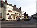
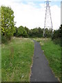
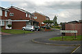
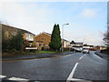
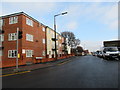
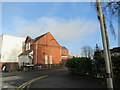
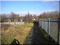
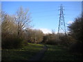
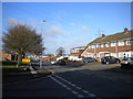
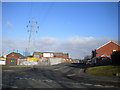
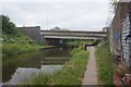
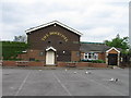
27 photos from this area
Area Information
Key information about the B71 2NL including its size, population, and administrative classification.
- Area Type
- Postcode
- Area Size
- 7419 m²
- Population
- 1884
- Population Density
- 3813 people/km²
House Prices in B71 2NL
21
Properties
£90,602
Average Sold Price
£41,500
Lowest Price
£117,500
Highest Price
Showing 21 properties
| Address | Type | Beds | Baths | Last Sale Price | Last Sale Date | |
|---|---|---|---|---|---|---|
| 77 Windsor Road, West Bromwich, B71 2NL | Semi-detached | - | - | £108,000 | Jul 2022 | |
| 79 Windsor Road, West Bromwich, B71 2NL | house | - | - | £96,814 | Feb 2020 | |
| 54 Windsor Road, West Bromwich, B71 2NL | house | - | - | £117,500 | Sep 2017 | |
| 59 Windsor Road, West Bromwich, B71 2NL | Semi-detached | 2 | 1 | £116,000 | Aug 2017 | |
| 61 Windsor Road, West Bromwich, B71 2NL | Semi-detached | 3 | - | £117,000 | Nov 2015 | |
| 69 Windsor Road, West Bromwich, B71 2NL | Semi-detached | - | - | £75,500 | Oct 2005 | |
| 60 Windsor Road, West Bromwich, B71 2NL | house | - | - | £52,500 | Jul 2001 | |
| 62 Windsor Road, West Bromwich, B71 2NL | house | - | - | £41,500 | Aug 1999 | |
| 64 Windsor Road, West Bromwich, B71 2NL | Semi-detached | - | - | - | - | |
| 58 Windsor Road, West Bromwich, B71 2NL | Semi-detached | - | - | - | - |
Page 1 of 3
Energy Efficiency in B71 2NL
Amenities
Schools
| Rank | School | Type | Entry gender | Ages |
|---|
Explore more schools in this area
Go to Schools tabDemographics
Household Size
One person
most common
Accommodation Type
Houses
most common
Tenure
38
majority
Ethnic Group
White
most common
Religion
N/A
most common
Household Composition
N/A
most common
Age
47
median
Adults (30-64 years)
most common
Household Deprivation
N/A
with no deprivation
NS-SEC
15
in Lower managerial occupations
Explore more demographic insights in this area
Go to Demographics tabPlanning
Planning Constraints
- Flood RiskPremium
- Ramsar Wetland SitesPremium
- Area of Outstanding Natural BeautyPremium
- Protected Nature ReservePremium
- Protected WoodlandPremium