Area Overview for B71 2NZ
Photos of B71 2NZ
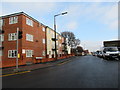
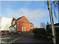
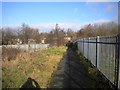
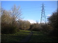
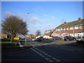
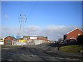
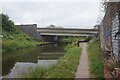

27 photos from this area
Area Information
Key information about the B71 2NZ including its size, population, and administrative classification.
- Area Type
- Postcode
- Area Size
- 4.4 hectares
- Population
- 1884
- Population Density
- 3813 people/km²
House Prices in B71 2NZ
36
Properties
£129,640
Average Sold Price
£45,000
Lowest Price
£187,000
Highest Price
Showing 36 properties
| Address | Type | Beds | Baths | Last Sale Price | Last Sale Date | |
|---|---|---|---|---|---|---|
| 4 Winchester Road, West Bromwich, B71 2NZ | Detached | 3 | 2 | £180,000 | Sep 2024 | |
| 1 Winchester Road, West Bromwich, B71 2NZ | Semi-detached | 2 | 1 | £187,000 | Sep 2024 | |
| 29 Winchester Road, West Bromwich, B71 2NZ | Semi-detached | 2 | 1 | £164,000 | Nov 2023 | |
| 6 Winchester Road, West Bromwich, B71 2NZ | Semi-detached | 2 | 1 | £125,000 | Jul 2019 | |
| 24 Winchester Road, West Bromwich, B71 2NZ | Semi-detached | 2 | 1 | £124,400 | Mar 2019 | |
| 21 Winchester Road, West Bromwich, B71 2NZ | Semi-detached | 2 | 1 | £115,000 | Nov 2017 | |
| 7 Winchester Road, West Bromwich, B71 2NZ | Semi-detached | 3 | 1 | £144,000 | Jan 2017 | |
| 2 Winchester Road, West Bromwich, B71 2NZ | Semi-detached | 3 | 1 | £95,000 | Apr 2013 | |
| 11 Winchester Road, West Bromwich, B71 2NZ | Detached | 3 | 2 | £117,000 | Dec 2010 | |
| 25 Winchester Road, West Bromwich, B71 2NZ | Semi-detached | - | - | £45,000 | May 2010 |
Page 1 of 4
Energy Efficiency in B71 2NZ
Amenities
Schools
| Rank | School | Type | Entry gender | Ages |
|---|
Explore more schools in this area
Go to Schools tabDemographics
Household Size
One person
most common
Accommodation Type
Houses
most common
Tenure
38
majority
Ethnic Group
White
most common
Religion
N/A
most common
Household Composition
N/A
most common
Age
47
median
Adults (30-64 years)
most common
Household Deprivation
N/A
with no deprivation
NS-SEC
15
in Lower managerial occupations
Explore more demographic insights in this area
Go to Demographics tabPlanning
Planning Constraints
- Flood RiskPremium
- Ramsar Wetland SitesPremium
- Area of Outstanding Natural BeautyPremium
- Protected Nature ReservePremium
- Protected WoodlandPremium