Area Overview for B68 0SW
Photos of B68 0SW
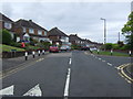

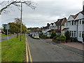
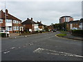
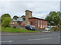
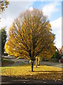
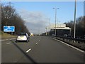
19 photos from this area
Area Information
Key information about the B68 0SW including its size, population, and administrative classification.
- Area Type
- Postcode
- Area Size
- 1.2 hectares
- Population
- 1736
- Population Density
- 2513 people/km²
House Prices in B68 0SW
39
Properties
£129,632
Average Sold Price
£41,950
Lowest Price
£245,000
Highest Price
Showing 39 properties
| Address | Type | Beds | Baths | Last Sale Price | Last Sale Date | |
|---|---|---|---|---|---|---|
| 20 Cornwall Avenue, Oldbury, B68 0SW | Terraced | 3 | 1 | £230,000 | Mar 2025 | |
| 26 Cornwall Avenue, Oldbury, B68 0SW | Terraced | 2 | 1 | £192,000 | Dec 2024 | |
| 18 Cornwall Avenue, Oldbury, B68 0SW | Terraced | 3 | 1 | £195,000 | Dec 2023 | |
| 68 Cornwall Avenue, Oldbury, B68 0SW | Semi-detached | 3 | 1 | £245,000 | Jul 2023 | |
| 66 Cornwall Avenue, Oldbury, B68 0SW | Retail | 2 | 1 | £170,000 | Jun 2022 | |
| 56 Cornwall Avenue, Oldbury, B68 0SW | house | 2 | - | £156,000 | Jan 2022 | |
| 46 Cornwall Avenue, Oldbury, B68 0SW | Terraced | 3 | 1 | £145,000 | Aug 2020 | |
| 58 Cornwall Avenue, Oldbury, B68 0SW | Terraced | 3 | 1 | £168,000 | Oct 2019 | |
| 70 Cornwall Avenue, Oldbury, B68 0SW | Semi-detached | 3 | 1 | £167,000 | Jul 2019 | |
| 50 Cornwall Avenue, Oldbury, B68 0SW | house | - | - | £135,950 | Aug 2018 |
Page 1 of 4
Energy Efficiency in B68 0SW
Amenities
Schools
| Rank | School | Type | Entry gender | Ages |
|---|
Explore more schools in this area
Go to Schools tabDemographics
Household Size
One person
most common
Accommodation Type
Houses
most common
Tenure
51
majority
Ethnic Group
White
most common
Religion
N/A
most common
Household Composition
N/A
most common
Age
47
median
Adults (30-64 years)
most common
Household Deprivation
N/A
with no deprivation
NS-SEC
20
in Lower managerial occupations
Explore more demographic insights in this area
Go to Demographics tabPlanning
Planning Constraints
- Flood RiskPremium
- Ramsar Wetland SitesPremium
- Area of Outstanding Natural BeautyPremium
- Protected Nature ReservePremium
- Protected WoodlandPremium