Area Overview for B68 0SH
Photos of B68 0SH
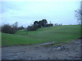
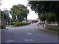
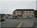
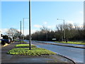
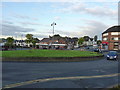
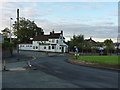
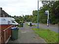
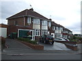
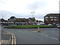
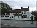
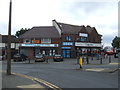
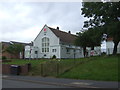
19 photos from this area
Area Information
Key information about the B68 0SH including its size, population, and administrative classification.
- Area Type
- Postcode
- Area Size
- 8.2 hectares
- Population
- 1736
- Population Density
- 2513 people/km²
House Prices in B68 0SH
36
Properties
£155,095
Average Sold Price
£103,000
Lowest Price
£265,000
Highest Price
Showing 36 properties
| Address | Type | Beds | Baths | Last Sale Price | Last Sale Date | |
|---|---|---|---|---|---|---|
| 163 Brennand Road, Oldbury, B68 0SH | Semi-detached | 3 | 2 | £265,000 | Jul 2025 | |
| 165 Brennand Road, Oldbury, B68 0SH | house | 3 | 1 | £177,500 | Jul 2020 | |
| 153 Brennand Road, Oldbury, B68 0SH | Semi-detached | 3 | 1 | £173,000 | Nov 2019 | |
| 169 Brennand Road, Oldbury, B68 0SH | Semi-detached | 3 | 1 | £160,000 | Oct 2018 | |
| 151 Brennand Road, Oldbury, B68 0SH | house | 3 | - | £160,000 | Jun 2017 | |
| 139 Brennand Road, Oldbury, B68 0SH | house | 3 | 1 | £135,000 | Mar 2017 | |
| 129 Brennand Road, Oldbury, B68 0SH | house | - | - | £103,500 | Mar 2016 | |
| 121 Brennand Road, Oldbury, B68 0SH | Semi-detached | 3 | - | £150,000 | Mar 2016 | |
| 125 Brennand Road, Oldbury, B68 0SH | house | - | - | £103,000 | Nov 2015 | |
| 149 Brennand Road, Oldbury, B68 0SH | house | - | - | £123,950 | Dec 2005 |
Page 1 of 4
Energy Efficiency in B68 0SH
Amenities
Schools
| Rank | School | Type | Entry gender | Ages |
|---|
Explore more schools in this area
Go to Schools tabDemographics
Household Size
One person
most common
Accommodation Type
Houses
most common
Tenure
51
majority
Ethnic Group
White
most common
Religion
N/A
most common
Household Composition
N/A
most common
Age
47
median
Adults (30-64 years)
most common
Household Deprivation
N/A
with no deprivation
NS-SEC
20
in Lower managerial occupations
Explore more demographic insights in this area
Go to Demographics tabPlanning
Planning Constraints
- Flood RiskPremium
- Ramsar Wetland SitesPremium
- Area of Outstanding Natural BeautyPremium
- Protected Nature ReservePremium
- Protected WoodlandPremium