Area Overview for B67 5NQ
Photos of B67 5NQ
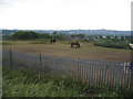
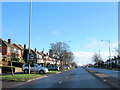
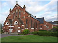
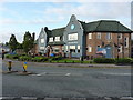
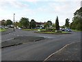
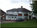
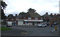
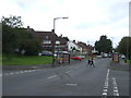
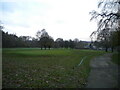
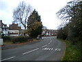
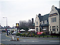
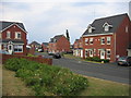
17 photos from this area
Area Information
Key information about the B67 5NQ including its size, population, and administrative classification.
- Area Type
- Postcode
- Area Size
- 7916 m²
- Population
- 1520
- Population Density
- 6454 people/km²
House Prices in B67 5NQ
20
Properties
£113,500
Average Sold Price
£55,000
Lowest Price
£252,000
Highest Price
Showing 20 properties
| Address | Type | Beds | Baths | Last Sale Price | Last Sale Date | |
|---|---|---|---|---|---|---|
| 259 Abbey Road, Smethwick, B67 5NQ | Semi-detached | 3 | 1 | £252,000 | Sep 2023 | |
| 251 Abbey Road, Smethwick, B67 5NQ | Semi-detached | 3 | 1 | £125,000 | Sep 2006 | |
| 263 Abbey Road, Smethwick, B67 5NQ | Semi-detached | - | - | £150,000 | Sep 2006 | |
| 265 Abbey Road, Smethwick, B67 5NQ | house | - | - | £88,000 | Oct 2001 | |
| 261 Abbey Road, Smethwick, B67 5NQ | Semi-detached | - | - | £58,500 | Feb 2000 | |
| 267 Abbey Road, Smethwick, B67 5NQ | Semi-detached | - | - | £66,000 | Dec 1998 | |
| 249 Abbey Road, Smethwick, B67 5NQ | Flat | - | - | £55,000 | Nov 1995 | |
| 281 Abbey Road, Smethwick, B67 5NQ | Detached | 3 | 2 | - | - | |
| 251B Abbey Road, Smethwick, B67 5NQ | Flat | - | - | - | - | |
| Flat, 249 Abbey Road, Smethwick, B67 5NQ | Terraced | 1 | 1 | - | - |
Page 1 of 2
Energy Efficiency in B67 5NQ
Amenities
Schools
| Rank | School | Type | Entry gender | Ages |
|---|
Explore more schools in this area
Go to Schools tabDemographics
Household Size
Family (3-5 people)
most common
Accommodation Type
Houses
most common
Tenure
73
majority
Ethnic Group
White
most common
Religion
N/A
most common
Household Composition
N/A
most common
Age
47
median
Adults (30-64 years)
most common
Household Deprivation
N/A
with no deprivation
NS-SEC
31
in Lower managerial occupations
Explore more demographic insights in this area
Go to Demographics tabPlanning
Planning Constraints
- Flood RiskPremium
- Ramsar Wetland SitesPremium
- Area of Outstanding Natural BeautyPremium
- Protected Nature ReservePremium
- Protected WoodlandPremium